

Some links on our site may earn us a commission at no extra cost to you. Learn more.
The best Smoky Mountains road trip is a loop, not an out-and-back. Start in Gatlinburg and Cades Cove. Cross Newfound Gap Road into Cherokee. Climb the Blue Ridge Parkway north to Asheville, then drop south through Chimney Rock and Sliding Rock. Finish at Pretty Place and Oconee State Park before you turn for home. It covers roughly 260 miles. Spread it across five to seven days, with a few nights on the Tennessee side and a few on the Carolina side.
I’ve driven pieces of this loop more times than I can count. Newfound Gap in June, windows down. The Parkway in October, when traffic backs up at every overlook. Pretty Place before sunrise, when it’s just me and a couple of photographers. The order below is the order I’d actually drive it, not the order a map app spits out.

Smoky Mountains Road Trip Map
The map above shows the whole loop in driving order. Each leg below gets its own mileage, drive time and the one stop we wouldn’t skip. We laid it out clockwise, starting and ending on the Tennessee side. That direction keeps the sun at your back on the Parkway in the afternoon, not straight in your windshield.
- Leg 1: Gatlinburg to Cades Cove and Townsend
- Leg 2: Newfound Gap Road to Cherokee
- Leg 3: Blue Ridge Parkway to Asheville
- Leg 4: Chimney Rock to Sliding Rock and the caves
- Leg 5: Pretty Place to Oconee State Park
Best Road Trip in the Smoky Mountains
This order works because it follows the terrain instead of fighting it. You start low in Gatlinburg. You gain elevation gradually through Cades Cove and Newfound Gap. Then the Parkway takes you along the ridgeline. Coming down through Chimney Rock and Sliding Rock, then finishing at Pretty Place, saves the best sunrise for last — when you’re already close to it.
Short on time? Cut Leg 5 and turn for home from Asheville or Chimney Rock. That shortens the loop by about a hundred miles. You keep the two best drives, Newfound Gap Road and the Parkway. Book lodging in Gatlinburg or Cherokee first; those fill up before the smaller towns do.
One vehicle can do the whole thing. Nothing here needs four-wheel drive. The only unpaved stretch is a short section of the Cades Cove side roads, and it’s skippable. Build in slack on purpose. An afternoon storm on the Parkway, or a backup at a Cades Cove bear jam, can eat two hours you didn’t plan for.
Great Smoky Mountains Road Trip Itinerary
New to the area? Read our guide to planning a trip to the Great Smoky Mountains first. Short on a week? Try our three-day Smoky Mountains itinerary instead. The table below is our own estimate for this custom loop. No single source publishes mileage for a five-leg route like this, so treat the miles and hours as rounded planning numbers, not GPS output.
These times assume you’re stopping for photos, short walks and a meal or two, not just passing through. Add an hour to any leg with kids along, or if you plan to hike more than a mile at any single stop.
| Leg | Start – End | Miles | Drive Time | Overnight | Must-Do Stop |
|---|---|---|---|---|---|
| 1 | Gatlinburg – Townsend | ~45 | 3–4 hrs | Gatlinburg or Townsend | Cades Cove Loop Road |
| 2 | Townsend – Cherokee, NC | ~45 | 4–5 hrs | Cherokee | Kuwohi summit |
| 3 | Cherokee – Asheville | ~65 | 4 hrs | Asheville | Craggy Gardens at sunset |
| 4 | Asheville – Chimney Rock area | ~50 | 4–5 hrs | Chimney Rock or Brevard | Sliding Rock |
| 5 | Chimney Rock area – Oconee State Park | ~55 | 3 hrs | Oconee or home | Pretty Place at sunrise |
Gatlinburg to Cades Cove
Base yourself in Gatlinburg or Pigeon Forge for the first night or two. We compare the two in Gatlinburg vs. Pigeon Forge. Check our guide to the best time to visit Gatlinburg before you lock in dates, and line up Dollywood tickets ahead of time if a theme-park day is part of the plan. Before you enter the park, display a parking tag on your dash. It’s required at every trailhead and lot, and the park’s fee page lists it at $5 a day, $15 a week or $40 a year.
Stop at Sugarlands Visitor Center to get oriented. If you have the morning, pick a short trail; our best hiking trails in the Smokies guide has options by difficulty, or loop through the Roaring Fork Motor Nature Trail first. From there it’s a scenic drive past Elkmont Campground to Cades Cove Loop Road, the best wildlife-watching stretch in the park. Give it two to three hours, longer if you stop for every bear jam.
Finish the leg in Townsend, the quiet gateway on the Tennessee side — our guide to things to do in Townsend, TN covers what to add if you stay the night. It’s noticeably calmer than Gatlinburg at night. Townsend also sits at the western end of Foothills Parkway, worth the extra hour if you want ridge views without the Cades Cove traffic. If you’d rather camp than book a room, our best campgrounds in the Great Smoky Mountains roundup covers the options closest to Cades Cove. Sticking to just this side of the state line? Our East Tennessee road trip guide covers Leg 1 and Leg 2 in more depth.
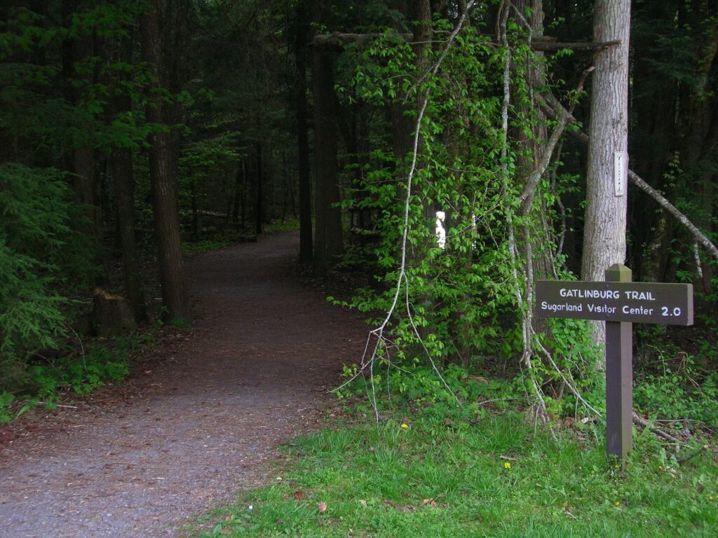
Newfound Gap Road to Cherokee
Newfound Gap Road is the drive most people picture when they think of the Smokies. Forest closes in on both sides, then the view opens up at the gap, right on the Tennessee–North Carolina line. Along the way, the Alum Cave Trailhead marks the start of the hike up Mount LeConte, if a detour on foot fits the day. Partway up, take the spur road to Kuwohi, the highest point in the park. It was renamed from Clingmans Dome in 2024. The tower at the top has the best 360-degree view on this whole loop.
Down the other side, stop at Oconaluftee to look for elk in the fields at dusk. Then roll into Cherokee, North Carolina. This is also where we’ve done some of the best trail riding anywhere in the Smokies. The Tennessee-side stables get the attention, so read our Cherokee National Forest horseback riding guide for that side of the line. Deep Creek‘s waterfall loop is worth the detour before you leave — it doesn’t make our best waterfalls in the Smoky Mountains list, but it’s an easy add if you have the afternoon. If you have an extra half day on the Cherokee side, Cataloochee Valley is the quieter elk valley worth the detour instead of doubling back through Oconaluftee.
Cherokee also makes a good overnight, and our guide to things to do in Cherokee, NC covers what fills an extra afternoon there. It’s closer to Kuwohi than Gatlinburg is, and rooms are usually easier to find on short notice. It’s a smaller town than Gatlinburg, so book ahead in October, when leaf-peeping crowds fill both sides of the park.
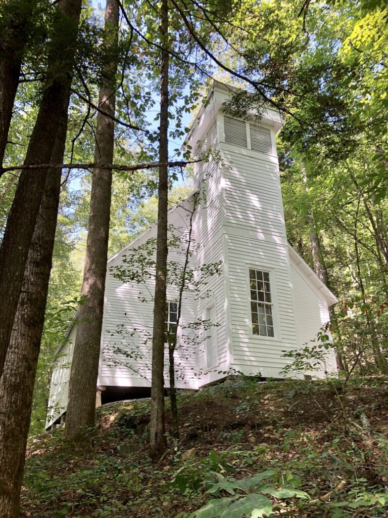
Blue Ridge Parkway to Asheville
From Cherokee, the Blue Ridge Parkway’s southern end is right there at the Oconaluftee entrance. This stretch runs along the ridge past Waterrock Knob and Richland Balsam — our Blue Ridge Parkway drive from Asheville to Cherokee covers it mile by mile. Richland Balsam is the highest point on the entire 469-mile Parkway, at 6,053 feet. There’s no fuel on the Parkway itself. The speed limit tops out at 45 mph, so budget more time than the mileage suggests.
Spend a day in Asheville: downtown, the River Arts District, and Biltmore Estate if a house tour fits your schedule. Then head back onto the Parkway north of town for Mount Mitchell, the highest peak east of the Mississippi. Time your drive to reach Craggy Gardens around sunset. The rhododendron bloom in June draws crowds, but the view holds up in any season.
Full tank matters most on this leg. Between Cherokee and Asheville there’s no gas on the Parkway, only in the towns on either end. This leg is also the most likely to run long — Asheville alone could absorb an extra day if you let it. Staying entirely on the North Carolina side? Our Western North Carolina road trip guide covers Cherokee through Asheville as its own trip.

Smoky Mountains Waterfall Road Trip
South of Asheville, this leg is where the waterfalls stack up. Start at Chimney Rock State Park, right on Lake Lure. Then drive twenty minutes to Sliding Rock in Pisgah National Forest. Pack a swimsuit — the water is cold even in August.
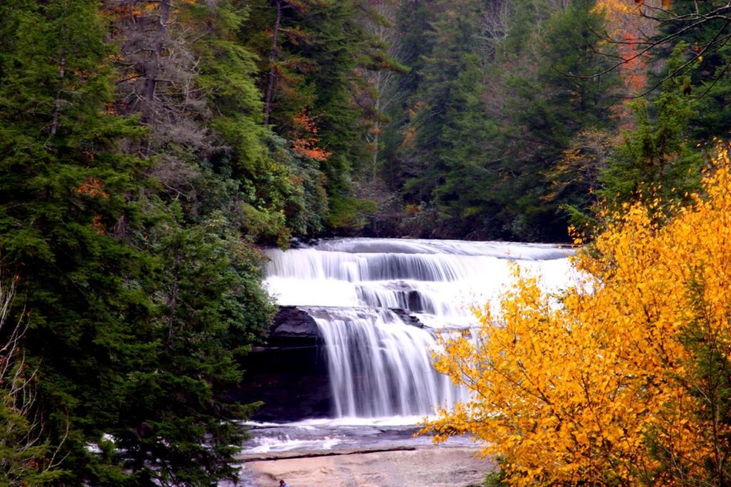
From there, work through our waterfalls near Asheville list. DuPont State Forest’s Triple Falls is an easy stop if you’re short on time. Weather turning? Our caves near the Smoky Mountains guide covers the indoor backup plan for this part of the trip.
Plan this leg for a full day. Chimney Rock, Sliding Rock and even one DuPont waterfall trail each want an hour or more once you count parking and the walk in. The roads between them are two-lane and slow. Trying to squeeze all of it into an afternoon is the most common way people over-schedule this trip.
Oconee State Park Camping
Save Pretty Place for the last morning if you can. Our Pretty Place Chapel visiting hours guide has the gate schedule, and sunrise there is the best light of the whole trip. From Pretty Place it’s a short drive across the state line to Oconee State Park in South Carolina, a good last-night stop before you head home or push on to the Foothills Trail.
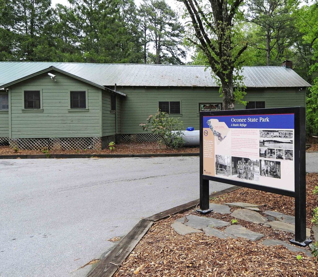
This is the quietest leg of the loop. Crowds thin out south of Chimney Rock, and Oconee’s CCC-era cabins have a slower pace than anywhere else on this route. Not camping? Oconee still makes a fine last stop before the drive home — the lake is small and easy to walk around in under an hour. If Upstate South Carolina is the whole destination rather than just the last stop, our Upstate South Carolina guide covers Oconee and the rest of that corner in more depth.
Best Time to Visit the Smoky Mountains
Timing changes this loop more than any other decision. Fall brings the best color, but also the worst traffic on Newfound Gap Road and the Parkway. Spring gives you wildflowers and thinner crowds, but a higher chance of rain on the ridgelines. We break down month by month, including road closures and firefly season, in our guide to the best time to visit the Smoky Mountains. For this loop specifically, late May through early June and late September give the best odds of clear Parkway overlooks without October’s bumper-to-bumper weekends.
What to Pack for the Smoky Mountains
Pack for five climate zones in one loop: low-elevation humidity in Gatlinburg, cold wind at Kuwohi and Richland Balsam, and everything between. Layers matter more than any single piece of gear. Our full what to pack for the Smoky Mountains list covers rain gear, footwear and the bear-country food rules you’ll want before you camp. Throw in a swimsuit and towel for Sliding Rock, plus a headlamp for the walk back from Kuwohi if you time the sunset — the spur road has no lighting once the sun’s down.
Smoky Mountains With Kids
This route works with kids if you trim it. Cades Cove, the Oconaluftee elk field and Sliding Rock are the three stops that reliably land. Our Smoky Mountains with kids guide has an age-by-age breakdown of which legs to shorten and which to skip. The Parkway legs are hardest on young kids — long stretches, no restrooms, no snack stops — so build in extra breaks at visitor centers instead of pushing straight through.
How Long Does It Take to Drive Through the Smoky Mountains?
How many days do you need for a Smoky Mountains road trip?
Five to seven days covers all five legs without rushing. Three or four days works if you cut Leg 5 and turn back from Asheville or Chimney Rock.
Do you need a parking tag for every stop on this loop?
Only inside Great Smoky Mountains National Park — Leg 1 and part of Leg 2. The Blue Ridge Parkway, Chimney Rock, Sliding Rock, Pretty Place and Oconee State Park each have their own fees, or none at all.
Is the Blue Ridge Parkway part of this Smoky Mountains road trip?
Yes. Leg 3 covers the southern stretch, from Cherokee to Asheville and north to Craggy Gardens. That’s where most of this route’s elevation and views come from.
Can you do this loop in a weekend?
Not the whole thing. A weekend covers Legs 1 and 2: Gatlinburg, Cades Cove and Newfound Gap Road into Cherokee. The Parkway and waterfall legs need their own days.
What is the best month for a Smoky Mountains road trip?
Late spring and early fall give the best mix of open roads, mild weather and manageable crowds. October has the best color, but the heaviest traffic on this whole route.
Prices are approximate, current as of publication, and change frequently — confirm the latest price with the retailer before buying.
Published September 26, 2026.
Photo credits: (1) The Gatlinburg Trail trailhead near… — No machine-readable author provided. Blinutne assumed (based on copyright claims, CC BY-SA 3.0, via Wikimedia Commons; (2) A mountain overlook along the Blue Ridge… — Gary Stevens from Asheville NC, CC BY 2.0, via Wikimedia Commons; (3) Triple Falls cascading over rock ledges in… — Gary Stevens from Asheville NC, CC BY 2.0, via Wikimedia Commons; (4) Historic CCC-era cabins in the Oconee State… — Bill Fitzpatrick, CC BY-SA 3.0, via Wikimedia Commons.