

Some links on our site may earn us a commission at no extra cost to you. Learn more.
An East Tennessee road trip built around the Great Smoky Mountains works best as a loop of four to five days. Spend two days on the Tennessee side of the park itself, then a day working the towns and back roads around it. Save a day or two for the caves and Chattanooga beyond the park boundary. Base in Gatlinburg or Pigeon Forge and you can reach every stop below without repacking the car.
I’ve driven this loop more times than I can count, usually timed around a farm visit or folded into a longer Southeast trip. Gatlinburg’s parkway is stop-and-go by mid-morning. I always eat breakfast before I leave the cabin, never after. Cades Cove is the stop I build the whole day around. Everything else on this itinerary bends to fit whichever morning I’ve got the loop road to myself.
East Tennessee Itinerary
The stops below run roughly west to east. Gatlinburg and Pigeon Forge first, then into the park on Newfound Gap Road, around Cades Cove, and out through Townsend and the Foothills Parkway. Elkmont and Roaring Fork come next, before the caves and an optional day toward Chattanooga. Drive times are rough planning estimates from a Gatlinburg base, not turn-by-turn directions.
| Day | Base | Stops | Drive Time |
|---|---|---|---|
| Day 1 | Gatlinburg or Pigeon Forge | Settle in, downtown Gatlinburg, Pigeon Forge, Dollywood | Local only |
| Day 2 | Gatlinburg | Newfound Gap Road, Kuwohi, optional Deep Creek, NC | ~2 hrs round trip |
| Day 3 | Townsend | Cades Cove Loop Road, Abrams Falls, Foothills Parkway | ~2.5 hrs total |
| Day 4 | Gatlinburg | Elkmont Campground, Roaring Fork Motor Nature Trail | ~1.5 hrs total |
| Day 5 (optional) | Chattanooga or Sweetwater | East Tennessee caves, Chattanooga day trip | ~2 hrs each way |
Best Time to Visit East Tennessee
Fall gets the crowds and the color. Late spring is my favorite window instead — the waterfalls run fuller, the Cades Cove fields are green, and the traffic hasn’t built up yet. Every vehicle parked anywhere in the park for more than 15 minutes needs a parking tag. The park lists it at $5 for a day, $15 for a week, or $40 for the year on its fee page. Our parking tag guide covers where to buy one and which lots check for it.
Things to Do in Gatlinburg and Pigeon Forge
Gatlinburg is the park’s front door on the Tennessee side. The parkway through downtown is walkable but slow to drive once the day gets going. The Ober Gatlinburg aerial tram climbs straight out of downtown to the ski area above town. It’s worth the ride just for the view back down over the valley. Compare the two towns in our Gatlinburg vs. Pigeon Forge guide, and check our timing guide before you book — the parkway gridlocks on fall weekends.

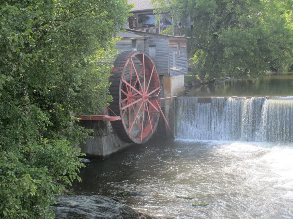
Pigeon Forge is louder and more built-up: go-kart tracks, dinner shows, outlet malls. It’s also where the Old Mill still turns its waterwheel over the Little Pigeon River, a quieter stop between the bigger attractions. Dollywood anchors the town. If a park day is on the itinerary, our Dollywood tickets guide breaks down ticket types and what to skip if you only have a few hours.
Newfound Gap Road
Newfound Gap Road is the only route that crosses the park by car. It climbs from Sugarlands Visitor Center near Gatlinburg up to the state line at Newfound Gap, then down the other side into Cherokee, North Carolina. Our full guide to the drive covers every overlook worth the pull-off. The short version: go early, since fog and slow RVs both build through the morning. Snow can close the road for hours until crews clear it, so check the park’s current conditions page before a winter drive.

At the top of a side road off Newfound Gap sits Kuwohi, the highest point in the park and in Tennessee at 6,643 feet. A steep half-mile paved path leads to the observation tower. Our Kuwohi guide has the details on the walk, and what the tower actually looks like on a clear day versus a foggy one.
Keep going over the gap into North Carolina and Deep Creek near Bryson City makes an easy side trip. Think tubing, waterfalls, and a much smaller crowd than the Tennessee side. We cover it in our Deep Creek guide.
Cades Cove Loop Road
Cades Cove is the stop I build the day around. The 11-mile, one-way loop road circles a valley of old homesteads, churches, and open fields. Deer and the occasional black bear show up in the same afternoon. Go at opening, or you’ll spend more time stopped behind other cars than actually looking at anything. Our Cades Cove guide has the full rundown, including which months the loop closes to vehicles on Wednesday mornings, per the park’s Cades Cove page.

The Abrams Falls trailhead sits off the loop road itself: a 5-mile round trip to a wide, powerful waterfall. It’s more dangerous than it looks, and the park warns against swimming near the base for good reason. Our Abrams Falls guide covers timing, parking, and what to expect on the trail.
Things to Do in Townsend TN
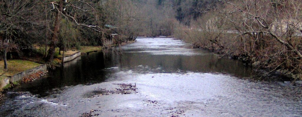
Townsend is the quiet entrance to the park, a base for anyone who wants Cades Cove without staying in Gatlinburg’s traffic. The Little River runs right along the edge of town. Tuckaleechee Caverns is a short drive from the main road. Our Townsend guide covers where to stay and eat on this side of the park.
Foothills Parkway runs along the edge of the park from near Townsend toward Walland. The long-unfinished middle section finally opened a few years back, connecting stretches that used to dead-end. The Look Rock Observation Tower is the reason to stop: a short walk to wide views over the valley on a clear day. Our Foothills Parkway guide has the mile-by-mile overlooks.
Elkmont Campground
Elkmont is the park’s largest campground, and its most interesting historic district in one place. The restored Appalachian Clubhouse sits alongside a handful of preserved cabins from the resort community that used to summer here. Our Elkmont guide covers the campground itself and the once-a-year synchronous firefly event, when the park runs a lottery through its own firefly page to manage the crowds.
Roaring Fork Motor Nature Trail starts from downtown Gatlinburg and loops 5.5 slow miles past log cabins and an old tub mill. Grotto Falls is one of several trailheads along the way, on the trail that continues up to Mount LeConte for anyone with a full day to spend climbing. Our Roaring Fork guide has the stop-by-stop rundown. The road closes each winter, so check conditions before you go.
East Tennessee Caves
Rain doesn’t cancel a Smokies trip when there are four real caves within driving distance. Tuckaleechee Caverns sits just outside Townsend. Forbidden Caverns is a short drive from Gatlinburg. The Lost Sea in Sweetwater holds what’s billed as the largest underground lake in the country, and Ruby Falls drops inside Lookout Mountain near Chattanooga. Our full caves guide covers hours, tour lengths, and which one is worth the drive if you can only pick one.
Day Trips in East Tennessee
Chattanooga is about two hours from Gatlinburg and makes a good last day before heading home. Think Ruby Falls and Rock City on Lookout Mountain, the incline railway, and the Tennessee Aquarium downtown along the river.

If horses are more your speed than an aquarium, Cherokee National Forest runs along the Tennessee side of the mountains toward Chattanooga. Our horseback riding guide covers the outfitters and trails on that side of the state.
How Many Days Do You Need in the Smoky Mountains?
For the Tennessee side alone, plan on three full days: one for Gatlinburg and Pigeon Forge, one for Cades Cove and the drive out through Townsend, and one for Newfound Gap Road and Kuwohi. Add a fourth day for Elkmont and Roaring Fork. Add a fifth if Chattanooga or the caves are on the list.
What Is East Tennessee Known For?
East Tennessee is known first for the Great Smoky Mountains, the most-visited national park in the country. It’s known second for the small towns built up around it: Gatlinburg’s tourist strip, Pigeon Forge’s theme parks, and quieter base towns like Townsend. Chattanooga, at the region’s southern edge, adds a city stop with its own set of landmarks.
Is East Tennessee Safe?
Yes, in the ordinary ways any mountain destination asks for some care. Watch the weather on Newfound Gap Road and Kuwohi. Both climb into a colder, faster-changing climate than the valley towns below. Stay out of moving water above a waterfall — around Abrams Falls, the Little River, or any swimming hole along the way. That’s where most of the park’s serious accidents happen.
Prices are approximate, current as of publication, and change frequently — confirm the latest price with the retailer before buying.
Published September 28, 2026.
Photo credits: (1) featured, Panoramic view of the Tennessee valley from… — Famartin, CC BY-SA 4.0, via Wikimedia Commons; (2) View over Gatlinburg and the surrounding… — Liz Lawley from Rochester, NY, CC BY-SA 2.0, via Wikimedia Commons; (3) The historic Old Mill waterwheel and… — Billy Hathorn, CC BY 3.0, via Wikimedia Commons; (4) Sugarlands Visitor Center building near the… — Chris Light, CC BY-SA 4.0, via Wikimedia Commons; (5) A red wolf watching deer across an open… — U.S. Fish and Wildlife Service, U.S. Government work, public domain, via Wikimedia Commons; (6) The Little River flowing past forested… — Brian Stansberry, CC BY 2.5, via Wikimedia Commons; (7) Downtown Chattanooga, Tennessee skyline… — Imilious, CC BY-SA 3.0, via Wikimedia Commons.