

Some links on our site may earn us a commission at no extra cost to you. Learn more.
Abrams Falls Trail is the classic hike out of Cades Cove. It’s a 5-mile round trip on mostly flat ground that ends at a 20-foot waterfall pounding into a deep green pool. Plan on three to four hours and sturdy shoes. Get an early start if you want a spot in the trailhead lot. It’s moderate, not hard. The challenge here is distance and slick rock, not climbing. Falls run heaviest in spring and after a good rain; a dry stretch in late summer thins the flow. Either way, the roar reaches you well before the view does.
I’ve hiked this one more times than I can count over years spent in the Smokies. The pull is the payoff-to-effort ratio: nothing technical, no big elevation swings, just a long walk through hardwood forest that ends at one of the loudest waterfalls in the park. Go on a weekday morning and the pool is sometimes mine for ten minutes before the next group shows up. This is also one of the few Smokies waterfall hikes where the crowd thins out fast past the first mile. A lot of casual walkers turn back once the trail starts to feel long.
| Fact | Detail |
|---|---|
| Round trip distance | 5 miles |
| Difficulty | Moderate |
| Typical hiking time | 3–4 hours |
| Waterfall height | 20 feet |
| Trailhead | Cades Cove Loop Road |
| Pets | Not allowed |
| Parking tag | $5/day, $15/week, $40/year |
How Long Is Abrams Falls Hike?
The round trip comes in at 5 miles. The National Park Service rates it moderate, not easy or strenuous. Distance is what wears people out here, not steep climbing. Most hikers move through in three to four hours. Add time with kids or a lot of stops at the creek.
The trail follows Abrams Creek for most of its length, crossing it three times on narrow log bridges rather than anything with a railing. None of the climbing is sustained. It rolls more than it climbs. That’s part of why families with older kids manage it even though the mileage looks long on paper.
Compared with some of the park’s better-known waterfall hikes, this one asks for more distance and gives back less elevation change. That’s exactly why families and first-timers gravitate to it. You’re trading a longer walk for an easier one, not skipping the work altogether.
Abrams Falls Trailhead
The trailhead sits off the Cades Cove Loop Road, on a short spur near where the road crosses Abrams Creek partway around the 11-mile loop. There’s a gravel lot, and on a busy Saturday it fills before 9 a.m. Arrive early or plan to circle back. There’s no potable water or restroom right at the lot itself. Use the facilities back at the main Cades Cove Campground or picnic area before you start. Cell service is spotty to nonexistent on the trail, so pull up any map you need before you park.
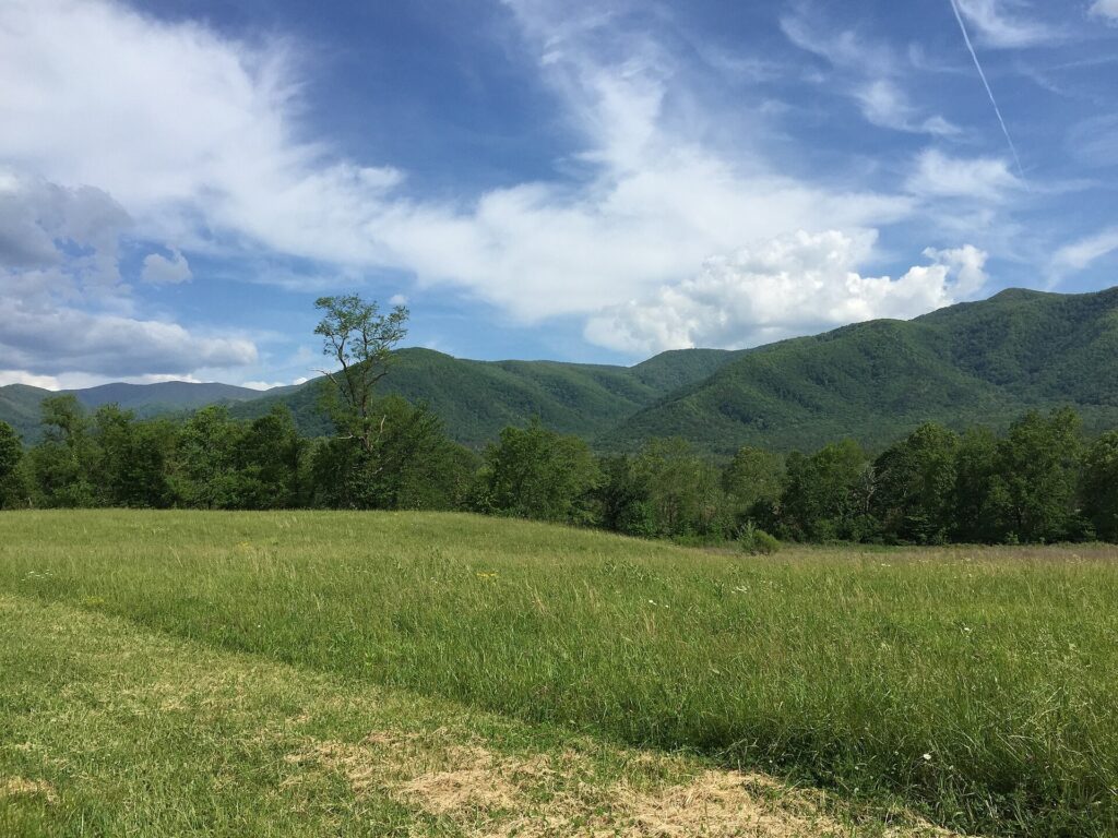
You’ll need a parking tag on the dash any time you leave a vehicle in the park. The park’s fee page lists a daily tag at $5, a weekly tag at $15, and an annual tag at $40, good at any trailhead or picnic area. Buy one online before you go. Most trailheads, this one included, don’t have a machine on site.
The drive in along the Cades Cove Loop Road is worth building extra time for on its own. Treat this as part of a full loop day rather than a quick stop.
Is Cades Cove Open on Wednesday?
Not to vehicles. The park closes the loop road to cars each Wednesday, typically from May through September, so cyclists and walkers have it to themselves that morning.
That changes the math for this hike. On a car-free Wednesday you either walk or bike in from the entrance before you even reach the trailhead. Then you still have the 5-mile round trip ahead of you — a long day unless you’re on a bike. Any other day, the loop runs on normal sunrise-to-sunset hours. The point of the closure is to give cyclists and walkers a break from a road that’s usually bumper to bumper with cars stopping for wildlife. If Abrams Falls is the goal on a Wednesday, biking in from the entrance beats walking it.
Abrams Falls Trail Difficulty
Moderate is the right word for it. There’s no single hard climb. Instead there’s a steady rise and fall as the trail works around the shoulder of the ridge above Abrams Creek, plus three log-bridge crossings that get slick after rain.
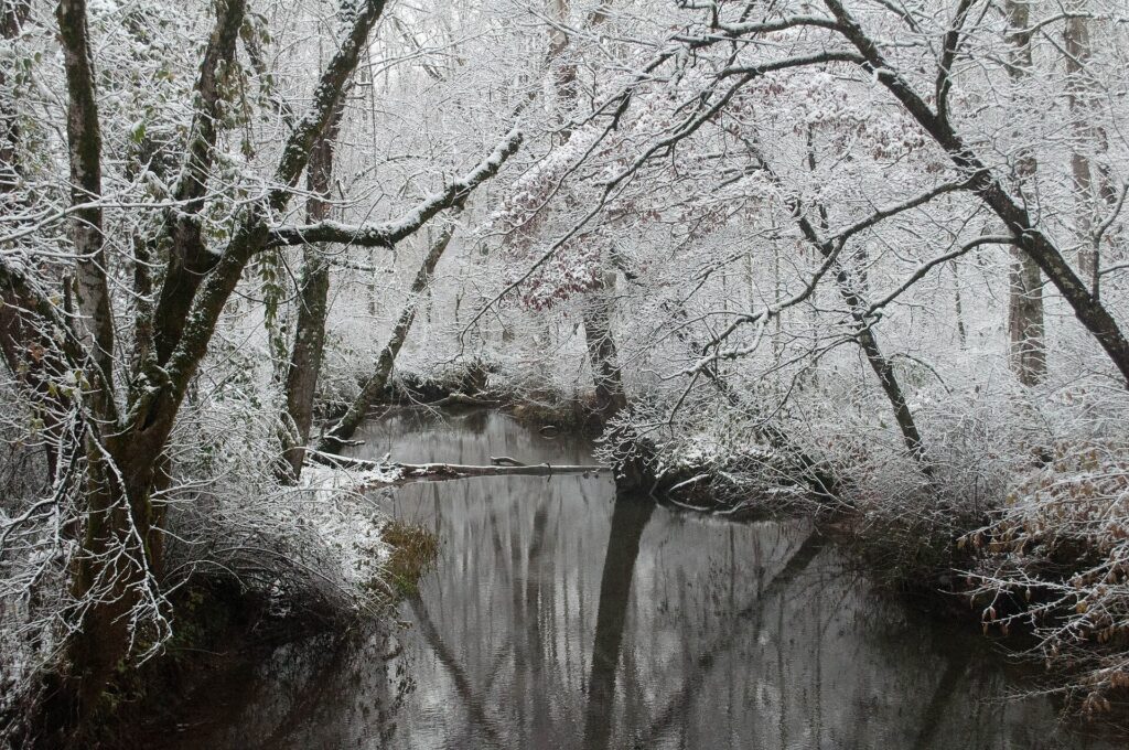
Rocky sections show up in the last stretch before the falls. That’s where real hiking shoes earn their keep — sandals and worn sneakers are the wrong call. Black bears use this part of the park too, so make some noise, especially early or late in the day, and keep food packed away at any rest stop. Trekking poles help more here than on steeper trails, mainly for balance on the log bridges. Pack more water than you think you’ll need. There’s little shade relief once you’re out along the open stretches near the creek.
Can You Swim at Abrams Falls?
You can wade in, but the park doesn’t want anyone swimming here, and for good reason. The current pouring over the falls builds an undertow at the base. The rock around the pool grows a film of algae that turns it into a slide.
The National Park Service puts it plainly on its Abrams Falls Trail page: “Over the years, several people have fallen to their deaths and many others have suffered serious injuries from climbing on rocks near waterfalls or along the riverbanks.” Stay off the rocks at the top and sides of the falls. Treat the pool with the same caution you’d use at any Smokies waterfall. It’s cold, it’s deep in spots, and there’s no lifeguard. Kids especially need a firm hand near the falls themselves. Calmer water downstream, well clear of the base, is the safer place to let them cool off after the hike.
Is Abrams Creek Campground Open?
Abrams Creek Campground sits on the far side of the falls, along the creek, reached by its own separate road rather than from the Cades Cove trailhead. It’s small and quiet compared with Cades Cove Campground — no big rigs, fewer crowds — and popular with anglers working the creek. Because it’s tucked away from the main entrances, it stays quieter even on holiday weekends when Cades Cove and Elkmont fill up fast. It makes a good base if fishing Abrams Creek, rather than hiking to the falls, is the actual goal.
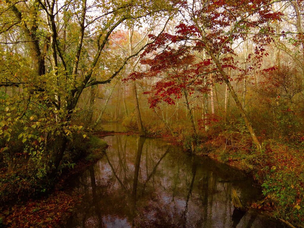
Reservations run through the park’s Abrams Creek Campground page and recreation.gov, the same system used for every other frontcountry campground here. Book ahead for summer even though this one sees fewer visitors than the bigger, better-known campgrounds.
Is Abrams Falls Worth It?
For me, yes. It’s one of the first hikes I point people to when they ask what to do in Cades Cove beyond the driving loop. It’s long enough to feel like a real hike and short enough to finish before lunch. It ends at a waterfall that’s genuinely worth the walk instead of a trickle behind a warning sign. This isn’t a hike for a rushed afternoon, though. Give yourself the full three to four hours so the last mile back doesn’t turn into a race against the light.
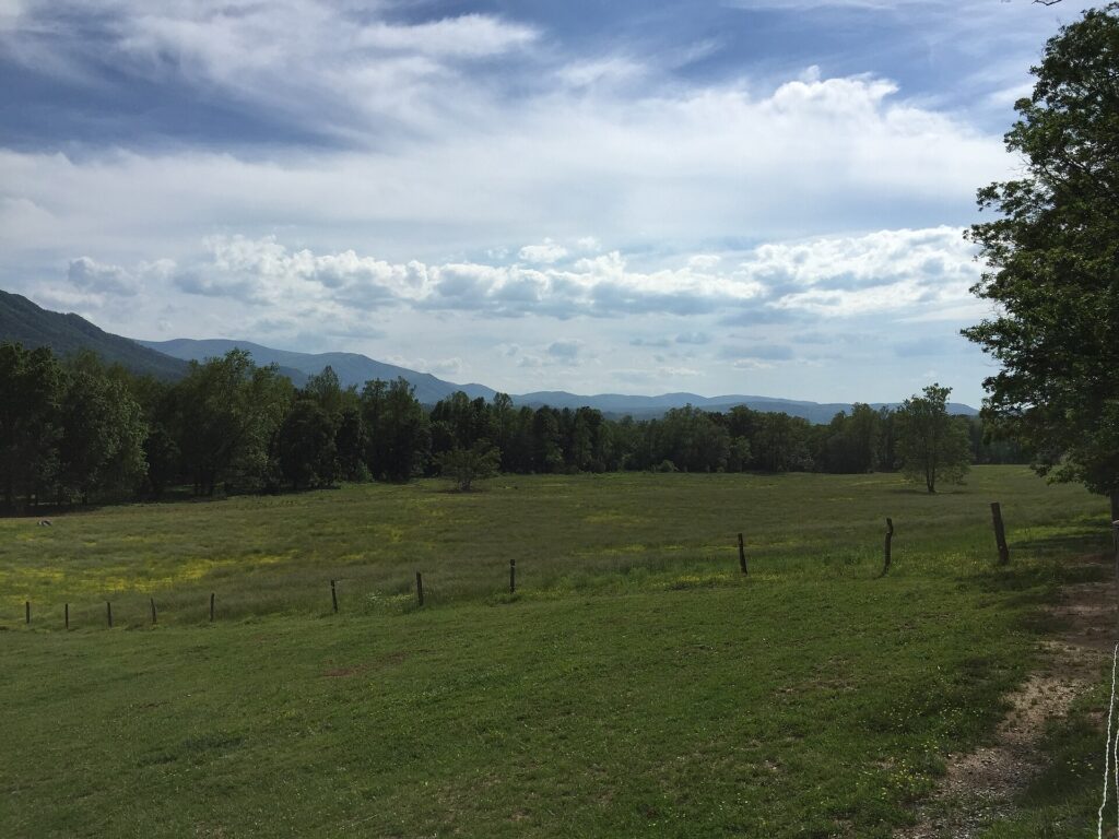
Pair it with a slow morning on the Cades Cove Loop Road and you’ve got a full day. For more of the park’s best hiking trails or a longer list of waterfalls in the Smokies, I’ve got separate guides for both. If you’re basing yourself nearby, Townsend sits closer to Cades Cove and runs quieter than Gatlinburg.
Cades Cove Loop Road Hours
The loop road runs sunrise to sunset every day it isn’t closed for weather. That’s the same window that applies to the Abrams Falls trailhead lot. Plan your hike so you’re back at the car well before dark — there’s no lighting on the trail or in the lot. Here are the questions I hear most about this one.
Is Abrams Falls Trail open?
Yes, it’s open year-round, aside from rare weather closures or short stretches when the park closes it for trail work. Check the park’s current conditions page before a winter or storm-season visit.
How far is Abrams Falls Trail?
It’s 5 miles round trip from the Cades Cove Loop Road trailhead to the falls and back. There’s no shorter route to reach it.
How do you reserve a site at Abrams Creek Campground?
Reservations go through recreation.gov, the same system used for every frontcountry campground in Great Smoky Mountains National Park.
Are dogs allowed on Abrams Falls Trail?
No. The park doesn’t allow pets on this trail, or on almost any trail in the Smokies. The only two exceptions are paved, and this isn’t one of them.
What is the elevation gain on Abrams Falls Trail?
The National Park Service doesn’t publish a single net elevation figure for this trail. What you’ll actually feel on the ground is a series of gentle ups and downs along the ridge shoulder above the creek, not one sustained climb the way many Smokies hikes work.
Prices are approximate, current as of publication, and change frequently — confirm the latest price with the retailer before buying.
Published September 28, 2026.
Photo credits: (1) featured, Green valley and mountains seen from the… — Famartin, CC BY-SA 4.0, via Wikimedia Commons; (2) The Cades Cove Loop Road near Abrams Creek… — Famartin, CC BY-SA 4.0, via Wikimedia Commons; (3) Light early-season snow along Abrams Creek… — National Park Service, U.S. Government work, public domain, via Wikimedia Commons; (4) Abrams Creek lined with fall foliage in… — National Park Service, U.S. Government work, public domain, via Wikimedia Commons; (5) Forested ridgeline and open valley along… — Famartin, CC BY-SA 4.0, via Wikimedia Commons.