

Some links on our site may earn us a commission at no extra cost to you. Learn more.
Alum Cave Trail is one of the most popular hikes in the Smokies, and the crowds are earned. The park lists a 4.6-mile round trip to Alum Cave Bluffs, a 2.8-mile round trip to Arch Rock, and a 10-mile round trip all the way to the summit of Mount LeConte. All three start at one trailhead on Newfound Gap Road, and that small lot decides how your morning goes.
I would pick this trail for a first-timer, and I would plan the day around the parking rather than the hiking. Start before the lot fills, carry one more layer than the valley suggests, and decide at Arch Rock how far you actually want to go. The bluffs make a satisfying turnaround, and nobody earns extra points for the summit.
How long is Alum Cave Trail?
The park’s trail page gives three turnaround points, and each one is a complete hike. Arch Rock is the short version. Alum Cave Bluffs is the standard one, and Mount LeConte is the long day.
| Turnaround | Round trip | What you see |
|---|---|---|
| Arch Rock | 2.8 miles | A stone archway the trail climbs through, with creek and forest all the way |
| Alum Cave Bluffs | 4.6 miles (bluffs at 2.3 miles) | An 80-foot cliff curled inward, and the first big mountain views |
| Mount LeConte | 10 miles | Spruce-fir forest, then Cliff Tops and Myrtle Point near the summit |
The early stretch is the gentle part, with the trail tracking Alum Cave Creek through old-growth forest and over bridges. Past Arch Rock it turns steeper. The park warns of stairs, steep sections, and rocks and roots, so wear shoes with real grip.
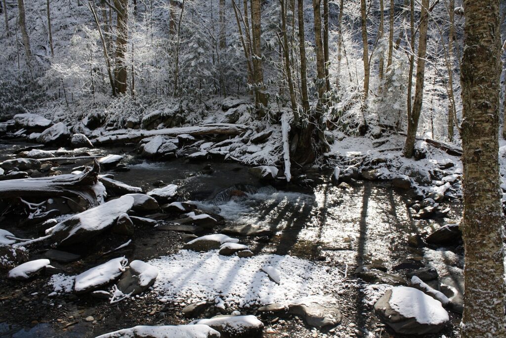
Check conditions before you leave the house on the park’s closures and cautions page. In early October 2026 it listed no closure for Alum Cave Trail or the other Mount LeConte trails. It did list Bullhead Trail as closed Monday through Thursday through November 19, 2026, which matters only if you planned a loop.
Alum Cave Bluffs
Arch Rock comes first, a natural stone archway with steps worked into the rock. You walk straight through it, and the trail gets noticeably more serious on the far side. After that the path climbs to open ledges where Inspiration Point gives you the first real look across the ridgelines.
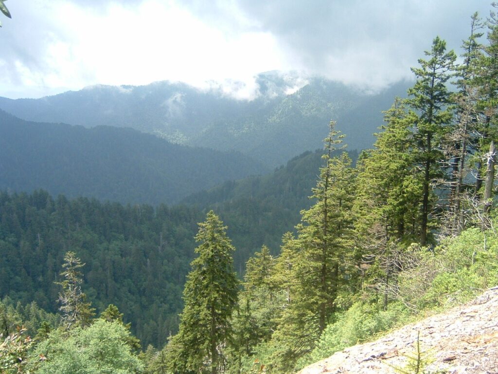
The bluffs themselves are not a cave in the walk-in sense. They are an 80-foot cliff that curls inward, so the overhang gives you a roof and a long view downhill. It is the natural place to eat, rest and decide.
Many day hikers turn around here, and I think that is the right call for anyone without a long day to spare. The return trip is the easy half, but the stairs and roots look different going down. Give your knees a few minutes before you start back.
Alum Cave Trail parking
The trailhead sits 6.8 miles south of Sugarlands Visitor Center on Newfound Gap Road, between mile markers 10 and 11. The park calls the lot large, and then warns of extreme crowding and limited parking. A seasonal pit toilet at the trailhead is the only restroom below the summit.
I would start before the lot fills. As a rule of thumb, that means arriving in the first couple of hours after sunrise on a summer or October weekend, and earlier if you want a guaranteed spot. If you arrive late and the lot is full, do not squeeze into a spot that is not a spot. Switch to a shuttle or pick a different trail from our list of the best hiking trails in the Smokies.
A parking tag is required to park longer than 15 minutes anywhere in the park. The park’s fee page, checked on October 2, 2026, lists $5 for a daily tag, $15 for a weekly tag and $40 for an annual tag. It also says the tag must be a physical copy, that digital versions are not accepted, and that most trailheads have no tag machine. Our guide to the Smokies parking tag covers where to buy one before you drive up.
Getting there means driving the park’s main road. Our Newfound Gap Road guide covers the drive, the overlooks and the stretch from Sugarlands up to the trailhead.
Alum Cave Trail shuttle
Take a shuttle if you can. It removes the parking problem entirely, and it lets you hike up one trail and down another if you want to. The shuttles are not run by the park, but its shuttle page lists 10 authorized providers, and several of them stop at Alum Cave Trailhead.
The caution is on the same page: park staff cannot book a shuttle for you, cell service is limited, and schedules and routes vary by company. The page lists no prices, so ask each provider directly. Book your ride and confirm the pickup time before you start walking, because you will not be able to sort it out from the trail.
Alum Cave Trail to Mount LeConte
The 10-mile round trip makes this the shortest of the five routes to Mount LeConte. The other four run 13 to 16.2 miles round trip. Shortest does not mean easy. LeConte Lodge’s trail FAQ calls it the steepest of the routes.
Above the bluffs the trail climbs through spruce-fir forest to the summit area. Some of it runs along open ledges where cables are bolted to the mountainside, and the lodge advises extra caution in snow, ice or rain. I would treat the cables as a handrail, not a safety net, and I would keep children close here.

The park names Cliff Tops and Myrtle Point as the best views near the summit. Our Mount LeConte guide covers the summit, the lodge and the other trails, so I will not repeat it here. What matters on this page is the turnaround: pick a time before you leave and honor it, because dark comes early up there.
If you want a high view without the climb, the drive-up option is Kuwohi. Our Kuwohi (Clingmans Dome) guide explains how to do it.
Alum Cave Trail in winter
The park’s warning is short and specific. In cold weather, expect ice on the trail and falling icicles, and carry microspikes, the chains or small spikes that slip over your shoes. Those two sentences cover most of what goes wrong on this trail between late fall and early spring.
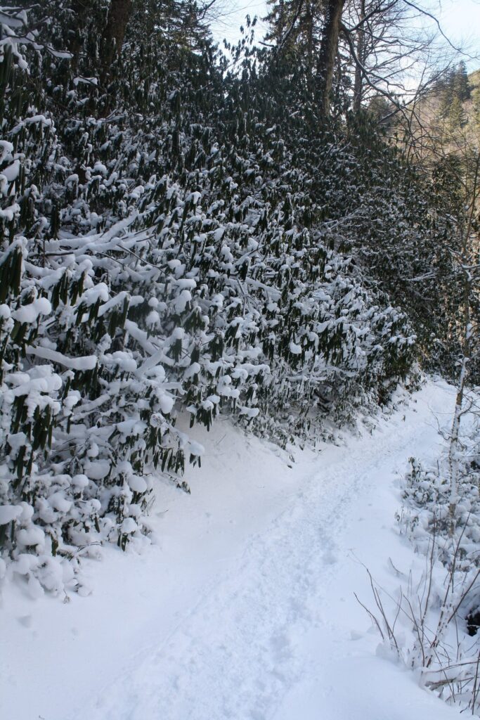
Ice lingers longest in the shade, and the ledges and stair sections are exactly where you want solid footing. Do not stand under the overhang at the bluffs if icicles are hanging from it. The trailhead can be wet and mild while the upper trail is frozen, so turning back early is a good decision.
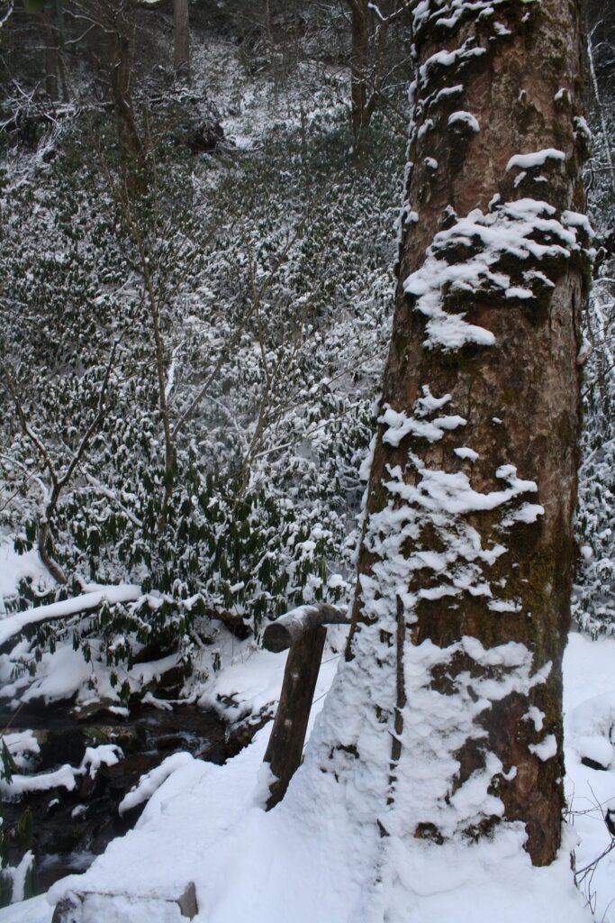
Winter also shortens the day. Pack a headlamp even for the bluffs hike, and plan to be off the trail well before sunset.
What to wear hiking in the Smokies
Dress in layers, because this hike runs from a creek-side valley into spruce-fir country, and the temperature drops as you climb. I would start with a moisture-wicking base layer rather than cotton, add a fleece or light insulated layer, and keep a rain shell in the pack even on a clear morning. Hats and light gloves earn their space from fall through spring.
Shoes matter more than anything else on this list. Choose trail runners or boots with a lugged sole, since wet stone steps and roots are the usual trouble. Trekking poles help on the descent. Our Smokies packing list has the full kit, and the short version is water, snacks, a headlamp, a first-aid kit and a paper map.
Alum Cave Trail safety
The Smokies have black bears, and the trailhead lot and the bluffs are both places where food sits in packs. The park’s black bear rules say that willfully approaching within 50 yards (150 feet), or any distance that disturbs or displaces a bear, is illegal. Garbage goes in bear-proof containers or comes home with you, and food never stays in a vehicle.
The same page lists fines up to $5,000 and up to six months in jail for violations. If a bear follows you, change direction and back away slowly. Keep your pack on you at the bluffs, and never leave a snack bag on a ledge.
Beyond bears, the real hazards are footing and weather. The ledge sections are exposed, the stairs get slick, and the top of the trail can be much colder than the lot. Turn around if the weather changes, because the trail will be there next time.
Alum Cave Trail FAQ
Is Alum Cave Trail open?
It was open in early October 2026, with no closure listed on the park’s closures and cautions page. Conditions change, so read the page again the morning you go.
Is the hike to Alum Cave Bluffs hard?
It is moderate to Arch Rock and gets steeper beyond it. The bluffs are 2.3 miles from the trailhead, a 4.6-mile round trip, and the park warns of stairs, steep sections, rocks and roots.
Can you bring a dog to Alum Cave Bluffs?
No. Pets are not permitted on Alum Cave Trail, according to the park.
Do you need a parking pass at the Alum Cave trailhead?
Yes. A parking tag is required for anything longer than 15 minutes, and the park’s fee page listed $5 daily, $15 weekly and $40 annual on October 2, 2026.
Prices are approximate, current as of publication, and change frequently — confirm the latest price with the retailer before buying.
Published October 14, 2026.
Photo credits: (1) featured, View of Smoky Mountain ridges from the… — Andrew Heneen, CC BY 4.0, via Wikimedia Commons; (2) Snow lining the banks and rocks of Alum… — Scott Basford, CC BY-SA 3.0, via Wikimedia Commons; (3) Overlook along the Alum Cave Trail above… — No machine-readable author provided. Blinutne assumed (based on copyright claims, CC BY-SA 3.0, via Wikimedia Commons; (4) View from Cliff Tops on Mount Le Conte in… — Blinutne, Scott Basford, CC BY-SA 3.0, via Wikimedia Commons; (5) Snow-covered Alum Cave Trail in Great Smoky… — Scott Basford, CC BY-SA 3.0, via Wikimedia Commons; (6) Snow-covered log bridge along the Alum Cave… — Scott Basford, CC BY-SA 3.0, via Wikimedia Commons.