

Some links on our site may earn us a commission at no extra cost to you. Learn more.
Skyline Drive is the only public road through Shenandoah National Park, and it runs 105 miles along the crest of the Blue Ridge. The speed limit is 35 mph in most places, and the whole drive takes about three hours on a clear day. You pay at an entrance station, and the vehicle fee covers seven consecutive days.
We have driven national park scenic roads with nieces and nephews along, and the rule is the same: fewer stops, longer ones. Pick two walks and one meal and let the overlooks fill the gaps. I would drive Skyline Drive south to north in the afternoon and let the light decide where to stop.
How Long Is Skyline Drive?
Skyline Drive is 105 miles long. Mileposts run from 0 at Front Royal to 105 at the southern end, and Big Meadows at mile 51 is the largest developed area, near the center. The park’s driving page gives about three hours for the whole road on a clear day.
Few people do it in three hours. The overlooks come every few miles, and each one is a reason to pull over. Budget a full day if you want two walks and lunch.
Marys Rock Tunnel sits at mile 32.2 with a maximum clearance of 12 feet 8 inches. A tall RV, a van with a roof box or a rental truck needs a measuring tape before it needs a map.
Gas is the real planning problem. Options for filling up are limited, so fill the tank in a town before you enter. Electric cars deserve the same advance planning.
Skyline Drive Entrance Stations
There are four stations. Front Royal is the north entrance at mile 0. Thornton Gap is at mile 31.5, Swift Run Gap at mile 65.5 and Rockfish Gap, the south entrance, at mile 104.6.
The gate you choose matters most in the fall. Front Royal and Thornton Gap are the busiest then, with the longest waits. The park suggests Swift Run Gap on Route 33 or Rockfish Gap on Route 64 instead, and both sit farther south.
Your pass works at any gate. The seven-day window means you can leave through one station, eat in a town and come back through another without paying twice. That makes a two-day trip with a night outside the park much easier to plan.
Shenandoah National Park Entrance Fee
The park lists $30 per private vehicle, good for seven consecutive days, and $25 per motorcycle, also for seven days. Visitors 16 and older who arrive on foot or by bicycle pay $15 each, and children under 16 are free. The Shenandoah annual pass is $55. All of those figures come from the fees page, which showed a September 17, 2026 update when we read it on October 3, 2026.
The entrance stations stopped taking cash on July 1, 2025. Bring a card or use mobile payment. If you can only pay in cash, the same page lists third-party vendors that sell the park pass.
Driving the whole road is cheap next to most scenic drives, because the fee is per vehicle, not per person. If you are stringing several parks together, our national park road trip cost guide shows where the money goes. An annual pass only pays off if Shenandoah is one of several stops on the same trip.
Do You Need a Ticket for Old Rag?
Yes, if you plan to hike it between March 1 and November 30. Old Rag Mountain, including the Saddle, Ridge and Ridge Access trails, needs an advance day-use ticket on those dates, and the park’s ticket FAQ prices it at $2 per ticket. Each hiker needs their own, and the park entrance fee is separate.
The park releases 800 tickets a day: 400 thirty days ahead and 400 five days ahead. A ticket is valid only for its reservation date and does not guarantee a parking spot. Cell service is limited at the Old Rag fee station, so buy on recreation.gov before you leave your hotel.
On the date checked, October 3, 2026, the same page said the main Old Rag Trailhead parking lot had been closed since May 4, 2026 for infrastructure work. It listed completion for November 2026 and overflow parking as still available. Work like that can run late, so check the page before you plan around it.
The park calls Old Rag a strenuous rock scramble that needs good upper body strength. I would not add it to a Skyline Drive day. It is its own full day, and the easier walks on the Drive give you views without the scramble.
Skyline Drive Mile Markers
Mile markers are how everything on the road is located, so learn the ones that matter. The trail figures below come from the park’s trail pages for each hike.
| Stop | Mile marker | What is there | Round trip |
|---|---|---|---|
| Front Royal entrance | 0 | North entrance station | n/a |
| Elkwallow Wayside | 24.1 | Food and groceries | n/a |
| Thornton Gap entrance | 31.5 | Entrance station | n/a |
| Marys Rock Tunnel | 32.2 | 12 ft 8 in clearance | n/a |
| Skyland and Stony Man | 41.7 | Lodge, dining, trailhead | 1.6 miles, easiest |
| Hawksbill Gap | 45.5 | Summit trailhead | 1.7 miles, 690 ft gain, moderate |
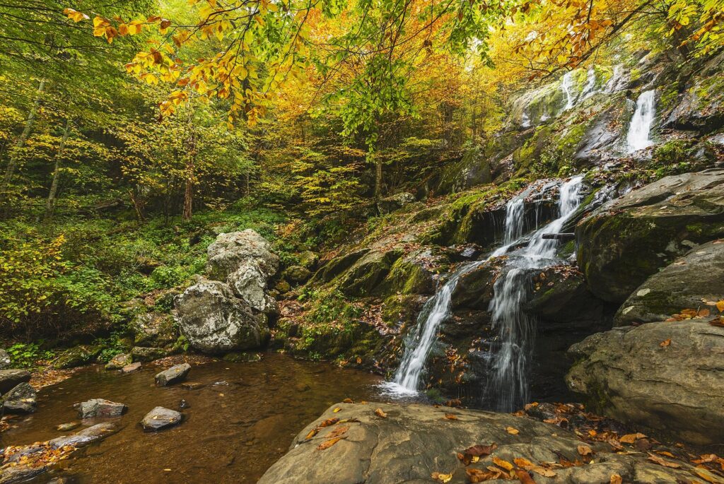
| Dark Hollow Falls | 50.7 | Waterfall trailhead | 1.4-mile circuit, 440 ft gain, moderate |
| Big Meadows | 51.2 | Wayside and lodge | n/a |
| Lewis Mountain | 57.5 | Cabins | n/a |
| Swift Run Gap entrance | 65.5 | Entrance station | n/a |
| Loft Mountain Wayside | 79.5 | Food and groceries | n/a |
| Blackrock Summit | 84.4 | Boulder summit trailhead | 1-mile circuit, easiest |
| Rockfish Gap entrance | 104.6 | South entrance station | n/a |
Skyline Drive Itinerary
Half day: take the central stretch. Enter at Thornton Gap, walk Stony Man at mile 41.7, and finish at Big Meadows at mile 51.2 for Dark Hollow Falls and a meal. That is two short walks and no rushing.
One day: start at Rockfish Gap or Swift Run Gap and drive north, which keeps you away from the busiest gates. Blackrock Summit at mile 84.4 makes an easy first walk, and Big Meadows is a natural lunch stop. Then do Hawksbill and Stony Man, and leave the northern overlooks for the last light.
Two days: split the road at Big Meadows and sleep inside the park. The first day covers the south, with Blackrock Summit and Loft Mountain, and the second runs north through Hawksbill and Stony Man. You will see more than a day-tripper and skip the worst traffic. Rockfish Gap is also where the Blue Ridge Parkway picks up, and Grandfather Mountain is a well-known Parkway stop farther south in North Carolina, covered in our Grandfather Mountain guide. Our Blue Ridge Parkway guide covers the Asheville-to-Cherokee stretch.
Skyline Drive Fall Colors
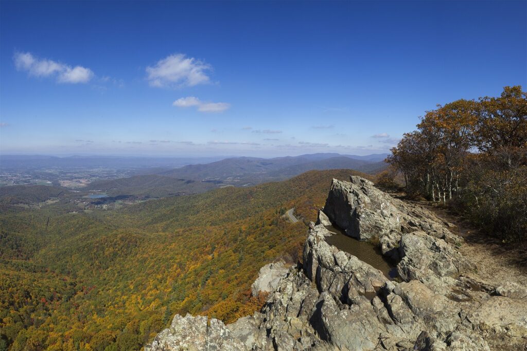
Fall color runs from late September through November. Nobody can predict a peak, because the park is more than 100 miles long, the elevation changes and the weather swings hour to hour. Anyone who promises you a peak weekend is guessing.
The park runs a View from the Valley webcam that shows the color moving up and down the mountain. Fall is the busiest season, and weekdays are the best way to avoid crowds. If a parking area is full, move on to another trail.
Campgrounds are usually fully booked for fall weekends months ahead. First-come sites fill quickly, usually by Thursday evening. Plan a weekday drive if you can, and you will spend more time looking and less time queuing.
Skyline Drive Lodging
Delaware North runs the park’s lodges and food stops. Skyland is at mile 41.7, Big Meadows Lodge at mile 51 and Lewis Mountain Cabins at mile 57.5. The park’s lodging page also lists six primitive public-use cabins run by the Potomac Appalachian Trail Club, booked through patc.net.
Food stops sit about every 25 miles. Elkwallow Wayside at mile 24.1, Big Meadows Wayside at mile 51.2 and Loft Mountain Wayside at mile 79.5 serve sandwiches and grilled food, and Skyland and Big Meadows Lodge have full-service dining rooms. The concessioner’s site, goshenandoah.com, has the current hours.
Check dates before you count on any of it. The park’s hours page said, when we read it on October 3, 2026, that 2026 facilities open on staggered dates between March 25 and May 4 and close between November 1 and November 29, and that all of those dates are subject to change. From November, expect some of them to be closed for the season.
I would book the room first, then fit the walks around it. Our national park road trip packing list covers the layers, since the top of the ridge is often colder than the valley.
Shenandoah Bears
Black bears live in the park, and wildlife collisions are common. Keep to the 35 mph limit and slow down when you see an animal. Do not stop in the middle of the road for a photo.
Find a safe place and get all four wheels off the pavement before you stop. Park regulations require at least 150 feet, which is 50 yards, between you and a bear. Stay grouped with children close, make noise so the bear knows you are there, and give it an escape route.

Food rules apply to a parked car too. Store food, trash and anything scented, from sunscreen to lip balm, in a locker, a car trunk or a bear-resistant canister. Food, coolers and trash left unattended can bring a citation and confiscation.
Never feed a bear or any other animal. If a bear approaches, move away slowly and do not turn your back. If one charges, do not run.
Skyline Drive in Winter
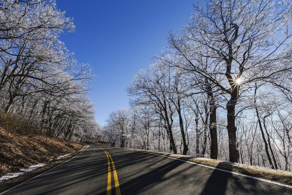
The park says the road stays open through the winter unless snow or ice closes it, and crews can need several days to reopen it after a storm. It also warns of icy patches on shaded curves that look dry, and says weather can force you to drive under the 35 mph limit.
On the date checked, October 3, 2026, the Alerts and Conditions page showed no Skyline Drive closure notices. That page changes without warning, so read it again the morning you drive. The park also says the road can close in bad weather even though hikers may still enter on foot.
Most park facilities close by late November, so carry food, water and a full tank. Check the page, then check it again.
Skyline Drive Facts
Is Skyline Drive open in winter?
Yes, unless snow or ice closes it. The park says the road stays open through winter except when it is closed for snowy or icy conditions, and crews can take several days to reopen it after a storm. Check the park’s Alerts and Conditions page the morning you go.
Are there gas stations in Shenandoah National Park?
Options are limited, according to the park’s driving page, so fill your tank before you enter. Plan your fuel stops in the towns outside the gates.
Where does the Blue Ridge Parkway start?
Both the Parkway’s Milepost 0 and Shenandoah’s southern entrance are listed near Waynesboro, Virginia. Drive Skyline Drive south to the Rockfish Gap entrance at mile 104.6, and the Parkway continues from there.
How many entrances does Shenandoah National Park have?
Four: Front Royal at mile 0, Thornton Gap at mile 31.5, Swift Run Gap at mile 65.5 and Rockfish Gap at mile 104.6. Your seven-day pass works at all of them.
Prices are approximate, current as of publication, and change frequently — confirm the latest price with the retailer before buying.
Published October 12, 2026.
Photo credits: (1) featured, Skyline Drive curving through fall foliage… — National Park Service, U.S. Government work, public domain, via Wikimedia Commons; (2) Dark Hollow Falls cascading over rock… — National Park Service, U.S. Government work, public domain, via Wikimedia Commons; (3) View from Little Stony Man cliffs over the… — National Park Service, U.S. Government work, public domain, via Wikimedia Commons; (4) Black bear peeking over a stone wall in… — National Park Service, U.S. Government work, public domain, via Wikimedia Commons; (5) Winter sun through bare trees along Skyline… — National Park Service, U.S. Government work, public domain, via Wikimedia Commons.