

Some links on our site may earn us a commission at no extra cost to you. Learn more.
The Chimney Tops Trail is a 3.5-mile round trip with a 1,400-foot climb packed into nearly 2 miles. That makes it a short hike with a steep grade. The final quarter mile is closed to the public. The hike now stops at a gate, not on the rock pinnacles it is named for.
Short mountain trails that climb hard catch people out, so I plan around them like a long day. I would be at the lot early, with water and a turnaround time I actually keep. We have done steep trail days with nieces and nephews along. The descent is where small legs and tired adults both start to complain.
Chimney Tops Trail length
The trail is 3.5 miles round trip. Of that, 1,400 feet of climbing comes in nearly 2 miles. Do the arithmetic and it is a long staircase. Roots, rocks and stone steps make up the surface.
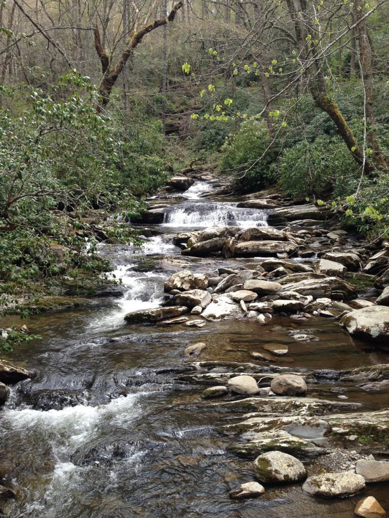
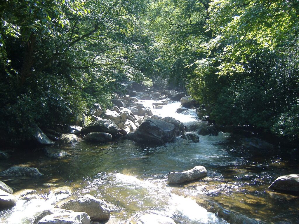
A few bridge crossings over the creek come early, before the climb gets serious. The stretch beside the water is the easy part. It fools people into pacing themselves for a flat walk. Then the trail leaves the creek and turns steadily uphill.
Your legs will tell you well before the top. Stop for a drink at the first real steps, not when you are already winded. A short break early costs less than a long one later.
Coming down is the part to respect. Stone steps and loose rock punish tired knees. A trail this steep takes longer on the way down than the mileage suggests. If your knees complain on descents, bring poles.
Is Chimney Tops Trail closed?
Yes, the top of it is. The park’s trail page says the final 0.25 mile is closed to all public use. It adds that the upper section and the rocky pinnacles are not safe for visitors.
That page does not name a new end point. It is marked last updated June 1, 2022. The things-to-do page for the hike, last updated August 15, 2026, is titled Hike to Chimney Tops Overlook. It sends hikers up stone stairs to a view. It says plainly not to go past the gate.
The reasons are on both pages. The trail page says public use of this steep route led to numerous search and rescue operations. Many involved carrying out injured hikers on a litter, and one involved a fatality. The 2016 wildfire also changed the landscape. The things-to-do page says it left the area vulnerable to erosion and other hazards.
On October 3, 2026, the Current Conditions page was marked last updated August 17, 2026. It listed rehabilitation closures on Laurel Falls Trail and Bullhead Trail. It showed no alert for the Chimney Tops Trail or Newfound Gap Road. Closures change without much notice, so open that page the week you go.
Chimney Tops Trail parking
The trailhead is 6.7 miles south of Sugarlands Visitor Center on Newfound Gap Road. From the other direction, it is 22 miles north of Oconaluftee Visitor Center. Look for a large lot on the west side of the road, between the lower tunnel and the loop.
Any vehicle parked longer than 15 minutes needs a parking tag. The park’s fee page was last updated September 3, 2026. It lists tags at $5 a day, $15 a week and $40 a year. Our parking tag guide covers where to buy one. The park also has automated tag machines.
Expect crowds and a lot that fills early. The park warns of extreme crowding and limited parking here and suggests a shuttle. I would be at the lot early. I would also pick a weekday over a late-October Saturday, when leaf-watchers fill every pullout on the road.
Restrooms are the one gap. The nearest listed restroom is Sugarlands Visitor Center, so stop there before you drive up.
Chimney Tops Trail weather
Mountain weather swings more than a Gatlinburg forecast suggests. A 1,400-foot climb will not give you the park’s full range. It is still enough for a cooler, windier top than the lot. The park’s own weather summary says temperatures can vary 10 to 20 degrees Fahrenheit from the base of the mountains to the top.
Summer brings hot, humid days and afternoon thunderstorms. Start early and be off the upper trail by midday. Autumn is the driest stretch of the year. Temperatures slide from the 70s and 80s into the 50s and 60s as the season goes, with the occasional frost. Late October mornings can be properly cold at the trailhead.
Pack a rain shell even on a clear morning. Wear shoes with real tread, because stone steps get slick when wet. Carry at least 1 liter of water for every 2 hours on the trail. Our Smokies packing list covers layers and the rest.
Chimney Tops Trail bears
Black bears live along this trail like everywhere else in the park. Per the park’s bear rules, approaching within 50 yards (150 feet) is illegal. So is any distance that disturbs or displaces a bear. Violations can bring fines up to $5,000 and up to six months in jail.
Keep food in your pack and carry trash out, or use a bear-proof container. Never feed wildlife. Lock your car at the trailhead so nothing edible sits in view. A bear that learns the lot has snacks becomes a problem for the bear and for the next hiker.
If a bear is on the trail, stay back and let it pass. Turn around before you try to squeeze by.
Chimney Tops Trail with kids
This is not a stroller walk or a first hike for small legs. The grade is steep, the steps are uneven, and the park calls it strenuous. Older kids who already hike steadily can handle it. Younger ones will want carrying on the descent.
Set the pace for the slowest person and agree on a turnaround point at the trailhead. Hold hands near the creek crossings and keep everyone on the trail side of the gate. Pets cannot come along.
Best hikes in the Smokies
If the climb or the crowd is wrong for your group, the park has plenty of other hikes. This table lines up the Chimney Tops Trail against four others. It uses the round-trip lengths and climb figures the park lists.
| Hike | Round trip | Climb | Notes |
|---|---|---|---|
| Chimney Tops Trail | 3.5 miles | 1,400 feet | Stairs and bridges; no pets |
| Andrews Bald | 3.6 miles | Not listed | Starts at the Kuwohi lot; strenuous return |
| Rainbow Falls | 5.6 miles | About 1,500 feet | Steep and rocky; ends at a waterfall |
| Abrams Falls | 5 miles | Not listed | Roots and rocks; swimming strongly discouraged |
| Mount Le Conte via Alum Cave | 10 miles | Not listed | Steep, rocky, with stairs and bridges |
Andrews Bald starts from the Kuwohi parking area. Our Kuwohi guide has the road and parking details. Rainbow Falls climbs about as much as Chimney Tops but over 5.6 miles. That spreads the effort out. Our Smokies hiking guide compares the rest.
On the date checked, the Abrams Falls page said the trail would close Mondays through Thursdays. The dates were August 24 to September 30, for footbridge replacement. That window has ended. The Current Conditions page also still listed Laurel Falls Trail as closed for rehabilitation. Verify both before you plan around either.
Chimney Tops hike
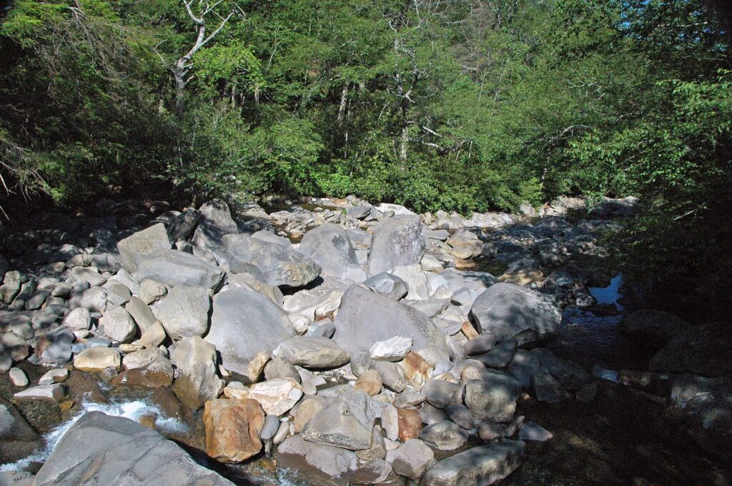
I would do the Chimney Tops hike for the creek and the climb, not for a summit. There is no summit to reach now. It is a good workout with a view at the end. It is a poor choice for anyone who wants a gentle morning.
Skip it with small children or bad knees. Skip it in rain, or on a peak-leaf Saturday when the lot is full before you arrive. Pick it on a clear weekday morning when you want a hard 3.5 miles. You should be fine turning around at the closure.
If you are basing in Gatlinburg, our Gatlinburg things to do guide fits the rest of the day around a morning on the trail. The Newfound Gap Road drive makes a natural second stop.
How hard is Chimney Tops Trail?
It is steep and strenuous, with a 1,400-foot climb in nearly 2 miles on roots, rocks and stone steps. The distance is short but the grade is not, so it suits hikers who are used to sustained climbing.
Is Chimney Tops Trail open?
The trail is open up to the closure. On October 3, 2026, the park’s trail page said the final 0.25 mile is closed to all public use. Check the Current Conditions page again before you go.
Are dogs allowed on Chimney Tops?
No. Pets are not permitted on this trail. The park allows them on only two trails, the Gatlinburg Trail and the Oconaluftee River Trail.
Do you need a parking tag for Chimney Tops?
Yes, for any stay longer than 15 minutes. As of October 3, 2026, the park’s fee page lists tags at $5 a day, $15 a week and $40 a year.
Prices are approximate, current as of publication, and change frequently — confirm the latest price with the retailer before buying.
Published October 11, 2026.
Photo credits: (1) featured, The lower peak of Chimney Tops in Great… — Brian Stansberry, CC BY 2.5, via Wikimedia Commons; (2) Stream running along the trail to Chimney… — Fredlyfish4, CC BY-SA 3.0, via Wikimedia Commons; (3) River along the Chimney Tops trail in Great… — Peter K., CC BY-SA 3.0, via Wikimedia Commons; (4) Chimney Tops Trail climbing through forest… — daveynin from United States, CC BY 2.0, via Wikimedia Commons; (5) Road Prong mountain stream with sandstone… — James St. John, CC BY 2.0, via Wikimedia Commons.