

Some links on our site may earn us a commission at no extra cost to you. Learn more.
Laurel Falls Trail has been closed for rehabilitation work since January 2025, and the park’s Alerts and Conditions page posts no reopening date. Check it before you go. When it is open, it is a 2.6-mile round trip to an 80-foot waterfall on a partly paved path. Until then, the Sugarlands area has two short waterfall walks that work for a family day.
We have done short waterfall walks with nieces and nephews along, and the plan that works is simple. Pick a walk short enough that nobody melts down, pack light, and be parked before the lot fills. This guide gives you the closure status, what the trail is like once it reopens, the parking rules, and what to do in the meantime.
Laurel Falls Trail closure
The park lists Laurel Falls Trail as closed as of January 6, 2025, for about 18 months of rehabilitation work, and that window has run long. The closure runs from the trailhead on Fighting Creek Gap Road up to the junction with the Little Greenbrier and Cove Mountain trails.
The same rehabilitation work has also closed part of Sugarlands Mountain Trail, from Fighting Creek Gap Road up to the Huskey Gap Trail junction. The park has posted no reopening date, so do not plan a trip around a rumor you saw on a social feed.
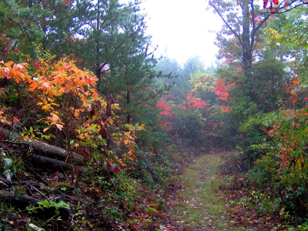
Check that page the morning you drive out, because trail status in the Smokies moves. If it has reopened, everything in the next two sections applies. If it has not, skip to the alternatives below.
How long is the Laurel Falls Trail?
The trail is 2.6 miles round trip, and the park’s trail page puts it at about two hours. Moderate is the park’s rating. The waterfall drops 80 feet over two tiers of rocky ledges, and the walk there goes through mixed hardwood forest with mountain laurel and rhododendron.
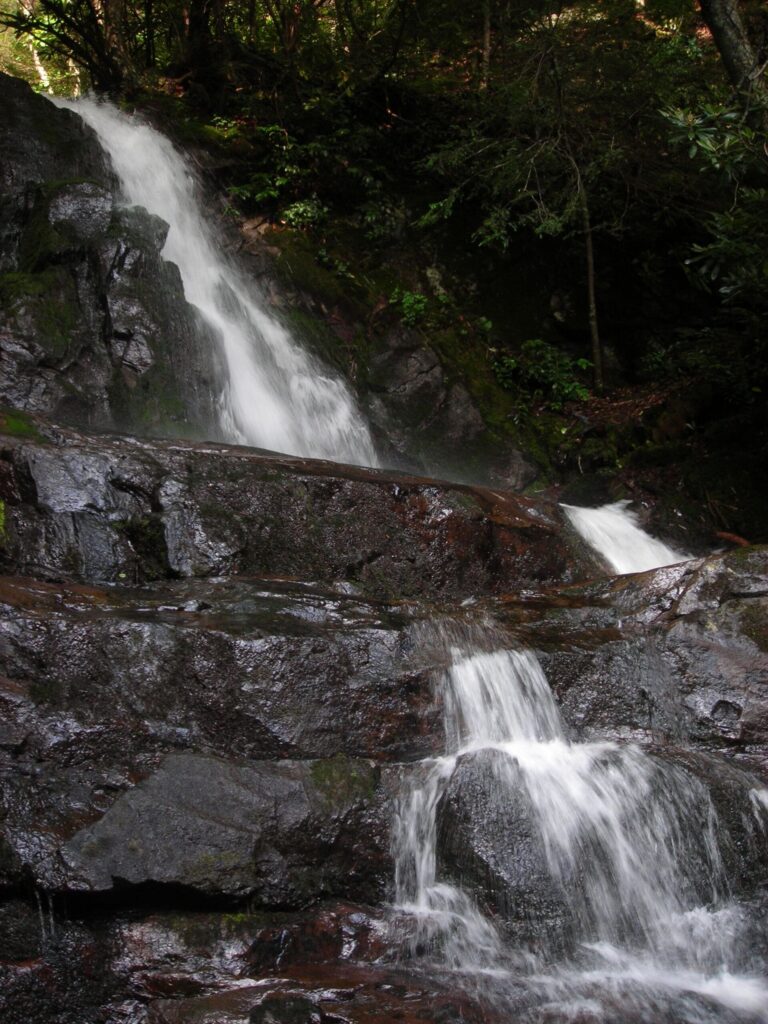
Here is what “paved” does and does not mean. The park describes the trail as partly paved but rough and uneven, with cracked pavement in places and short, steep sections that can be slippery in wet weather. It is a real hiking trail with a road surface on it, not a sidewalk.
Parts of the trail have steep drop-offs, and the park says to supervise children closely at all times. Stay off the rocks around the falls, because climbing there is dangerous when they are wet. If you are bringing little ones, a carrier is a safer bet than wheels.
Crowds follow a pattern. The park expects higher use on weekends all year and on weekdays in summer. I would pick an early weekday morning outside summer, or the last hour of light, and leave the midday rush to the people in flip-flops. The slippery bits are the same either way.
Laurel Falls Trail parking
The trailhead is on Little River Road, west of Sugarlands Visitor Center. The park says these lots are often full because of the trail’s popularity, and parking in undesignated spots damages road edges and causes erosion. Park in a marked space or choose another walk.
Anyone parking longer than 15 minutes needs a tag. Per the park’s fee page, tags cost $5 for a day, $15 for a week and $40 for a year, each tied to one license plate. Buy ahead on recreation.gov, because most trailheads have no tag machines. Our parking tag guide covers where else to buy one.
The park also recommends considering a shuttle as an alternative to driving to this trailhead. I would take that seriously on a summer weekend.
Waterfalls near Sugarlands Visitor Center
Two short walks start near the visitor center, and both are easier on a family day than a closed trail. The visitor center also has the nearest restroom to the Laurel Falls area, per the park. The table lays out the stops.
| Stop | Distance | Surface | Notes |
|---|---|---|---|
| Laurel Falls Trail | 2.6 miles round trip, about 2 hours | Partly paved, rough and uneven | Closed for rehabilitation, check status; pets and bikes prohibited |
| Cataract Falls | 0.7 miles round trip | Trail along Fighting Creek Nature Trail | 40-foot waterfall; photos from the bottom only |
| Sugarlands Valley Nature Trail | 0.5 mile loop | Fully paved and flat | Stroller and wheelchair use; no pets |
| Little River Road | A drive, no hiking | Paved road with pull-offs | Waterfall views from the car; the road runs toward Townsend |
Cataract Falls Smoky Mountains
Cataract Falls is a 0.7-mile round trip that follows the Fighting Creek Nature Trail from near Sugarlands Visitor Center. The falls are narrow, about 40 feet tall, and most dramatic after heavy rain. The park notes that people have been badly injured climbing around the falls, so take your photos from the bottom.
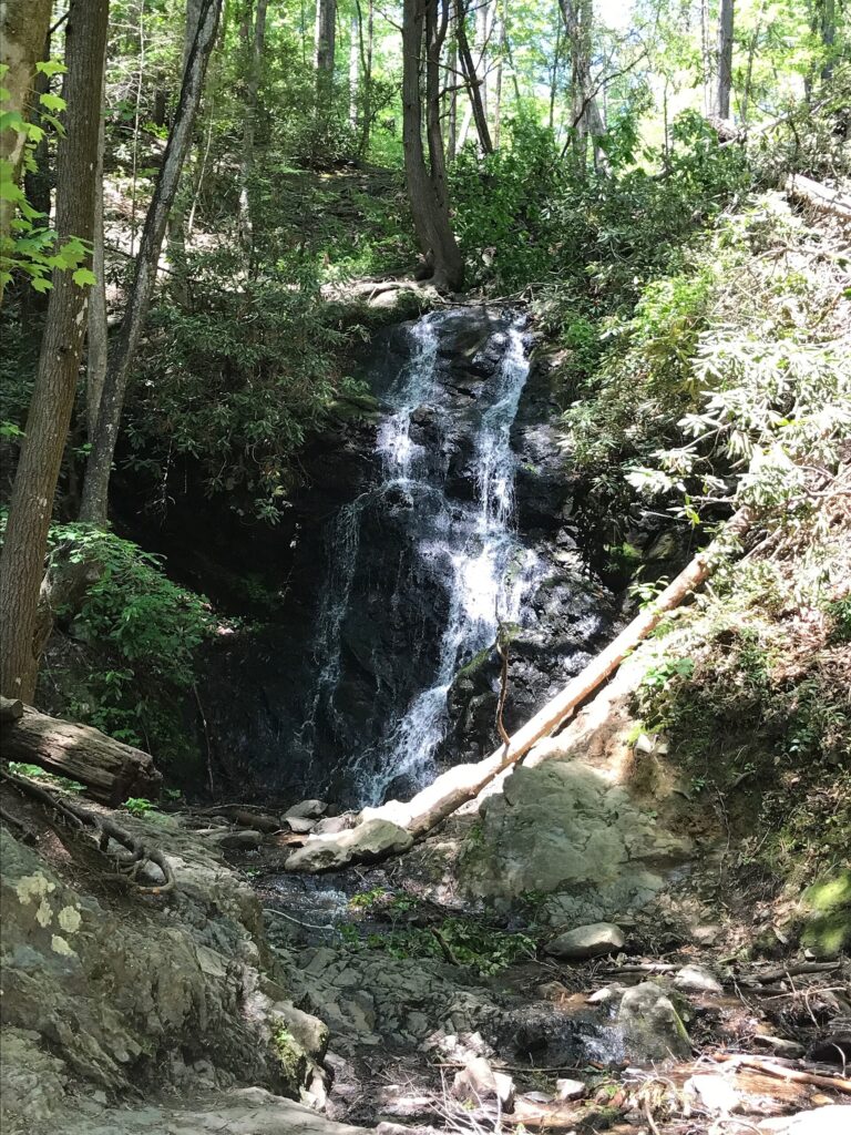
This is the one I would pick for small legs. It is short, it ends at an actual waterfall, and nobody has to carry anyone far. Free GRIT Freedom Chairs are available on first-come terms for this trail section.
Sugarlands Valley Nature Trail
The Sugarlands Valley Nature Trail is a half-mile loop that the park calls fully paved and flat. It passes streamside views, rock walls and old stone chimneys, and the trailhead sits on Newfound Gap Road near the visitor center with parking beside it. It has no waterfall, but it is the easiest option for strollers and mixed-ability groups.
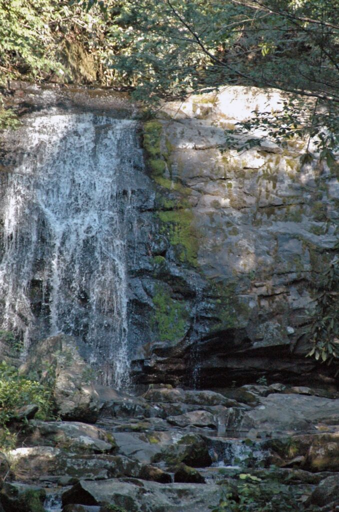
Little River Road is the scenic drive that connects this area toward Townsend. Pull-offs along it give you waterfall views without a hike, which suits a day when the weather turns. If you end the day in Townsend, our Townsend guide has the stops.
For a longer waterfall hike once the kids are older, see our Abrams Falls Trail guide. For a drive with short stops, try the Roaring Fork Motor Nature Trail. Our list of the best waterfalls in the Smokies ranks the rest, and Smoky Mountains with kids covers the wider family plan.
What to wear to a waterfall hike
Here is the list I would hand a family heading out for one waterfall hour. What goes in the bag comes first, and what stays in the car comes last.
- Bring shoes with grip. Wet rock and rough pavement are the whole story here.
- Pack water for everyone, plus a snack you can eat at the trailhead and not on the trail.
- A light rain layer earns its space, since the forest holds moisture long after the rain stops.
- For babies and toddlers, a carrier beats a stroller on rough trails.
- Leave the flip-flops in the car. Every trail has a crowd that tries them once, and the trail wins.
- Dogs and bikes stay home, since pets and bicycles are prohibited on the Laurel Falls Trail.
- Skip the urge to climb the rocks. Cataract and Laurel Falls both carry injury warnings.
One wildlife rule matters on any Smokies trail. In a release dated September 14, 2026, the park said to stay at least 50 yards (150 feet) from bears and 25 yards (75 feet) from elk, and that these distances are legal requirements. Bear activity is common in the Laurel Falls area, and never feed wildlife.
Laurel Falls Trail FAQ
Is Laurel Falls Trail paved?
Partly. The park describes the trail as partly paved but rough and uneven, with cracked pavement in places and short steep sections that get slippery when wet. Wear shoes with real grip.
Is Laurel Falls Trail stroller friendly?
The park does not rate it for strollers. Its pages describe cracked, uneven pavement, short steep sections and steep drop-offs, so I would plan on a baby carrier instead. For a stroller-friendly walk nearby, the Sugarlands Valley Nature Trail is described as fully paved and flat.
Are dogs allowed on Laurel Falls Trail?
No. The park lists pets and bicycles as prohibited on this trail, and says only the Gatlinburg Trail and the Oconaluftee River Trail allow pets.
Do you need a parking pass for Laurel Falls?
Yes, if you park longer than 15 minutes. The park calls it a parking tag, and it is required for all vehicles parking longer than 15 minutes anywhere in the park. Tags must match your license plate and cannot be refunded or transferred.
Can you swim at Laurel Falls?
I would not. The park warns that drowning is one of the leading causes of death in the Smokies and that people have been hurt climbing around waterfalls. The advice for Laurel Falls specifically is to stay off the rocks around the falls because they are slippery.
Prices are approximate, current as of publication, and change frequently — confirm the latest price with the retailer before buying.
Published October 13, 2026.
Photo credits: (1) Mixed forest along the Cove Mountain Trail… — Brian Stansberry, CC BY 3.0, via Wikimedia Commons; (2) Laurel Falls tumbling down a rock face in… — Scott Basford, CC BY-SA 3.0, via Wikimedia Commons; (3) Cataract Falls near Sugarlands Visitor… — National Park Service, U.S. Government work, public domain, via Wikimedia Commons; (4) Meigs Falls on Meigs Creek along Little… — James St. John, CC BY 2.0, via Wikimedia Commons.