

Some links on our site may earn us a commission at no extra cost to you. Learn more.
Jacks Fork River float trips run through some of the clearest, coldest water in the Ozarks. The river sits inside Ozark National Scenic Riverways in southern Missouri. The lower river is gentle, spring-fed Class I water. You can paddle it almost any month. The upper river only comes alive after spring rain. Most people put in near Alley Spring and take out in Eminence, or ride it down to where it meets the Current River.
We’ve floated a lot of rivers, and the Jacks Fork is one of the best we know — just not for tubing. Long stretches of it barely move. That’s the kind of slow you only appreciate with a paddle in your hand instead of dangling off a tube going nowhere. The water is what we remember most from the Missouri rivers we grew up floating: crystal clear, cold even in July, full of life the second you look over the side.
Jacks Fork River Access Points
The Jacks Fork runs about 46 miles from its headwaters to the Current River. It splits into two very different floats. The upper 25 miles, from the Prongs down to Bay Creek, cuts through a narrow, primitive valley. That stretch only carries enough water to float after spring rain. From Alley Spring downstream to the confluence with the Current, the river turns into reliable, spring-fed Class I water. It stays floatable through the warm months.
Access points run, roughly in order, from the Prongs and Blue Spring at the top, through Bay Creek, Alley Spring, and the town of Eminence, down to Two Rivers, where the Jacks Fork meets the Current. Alley Spring is the busiest put-in on the river. It’s also the easiest to plan around, since it sits right next to the campground and the old mill. Use it as a put-in, a take-out, or just a stop to look around.
| Section | Class | When It Floats |
|---|---|---|
| Prongs to Bay Creek (upper river) | Class II | Spring, after rain, high water only |
| Alley Spring to Two Rivers (lower river) | Class I | Floatable year-round |
How deep is the Jacks Fork River?
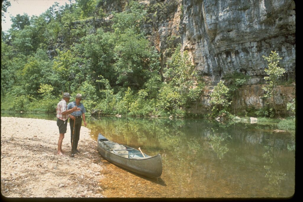
Depth changes by the week, not the season. This is a spring-fed river, so gages near Alley Spring, Eminence, and Mountain View track it constantly. A stretch that floats a loaded canoe on Tuesday can turn into a slog over gravel by the weekend if it hasn’t rained. The lower river usually carries enough water for a canoe or kayak. The upper stretch above Bay Creek needs a real rise to float at all.
Check the current gage readings before you load the truck, especially above Alley Spring. A call to the outfitter you’re renting from usually beats the gage page for speed.
Alley Spring Mill
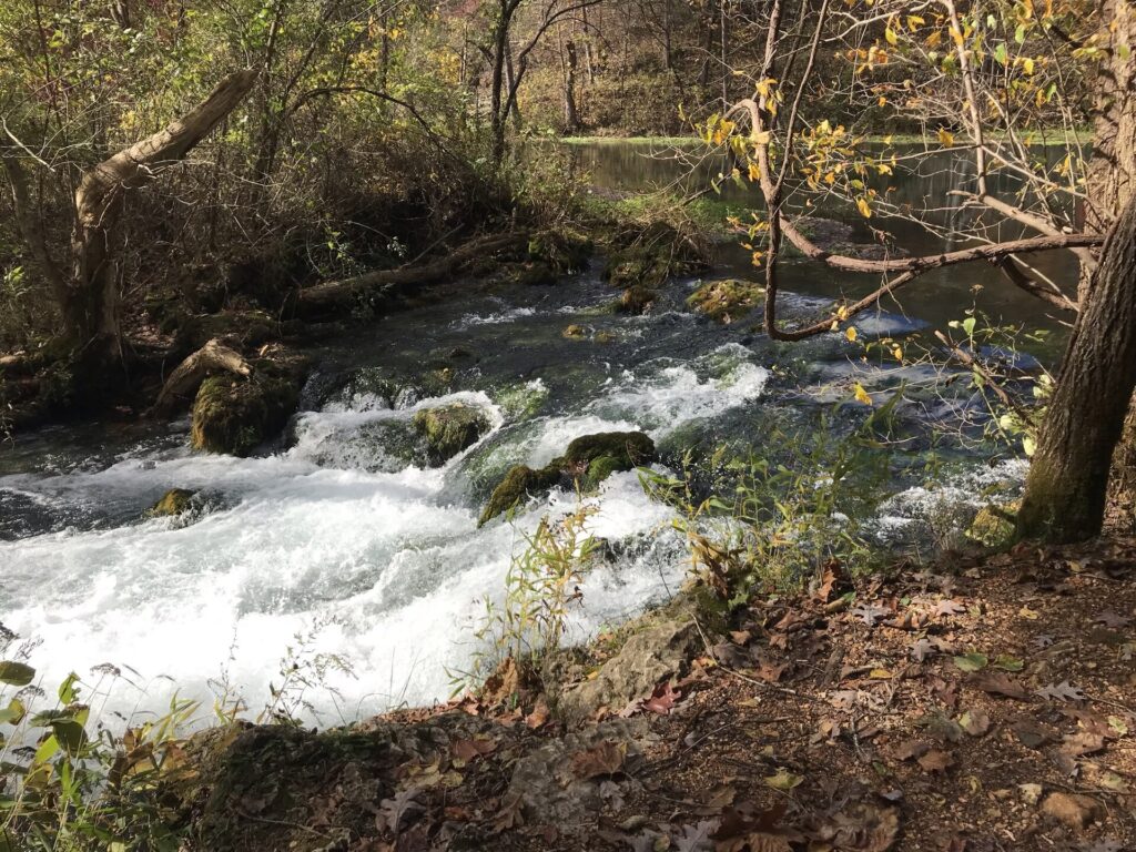
The red building everyone photographs at Alley Spring is a working grist mill. It was built in 1893 and 1894, six miles west of Eminence on Route 106. The mill ground wheat and corn for the surrounding farms for decades, powered by a turbine running on nothing but the spring itself. The National Park Service notes the water supply was constant enough that the mill never had to worry about running dry, only about flooding.
The spring that powers it is one of the coldest, clearest starting points on the whole river. It’s an easy stop even if you’re not floating that day. Park at the campground, walk down, and you’ll see why this is the one photo everyone takes.
Jacks Fork River Campgrounds
The park runs three developed campgrounds on this stretch of river, plus gravel bar camping for anyone floating multiple days. Alley Spring Campground is the most popular of the three and sits right by the mill. Two Rivers is smaller and quieter, out at the confluence with the Current. It switches over to a backcountry campground once winter sets in. Bay Creek is the smallest of the group, tucked upstream. None of them offer RV hookups on the Jacks Fork side. If you need power, look at private campgrounds around Eminence instead.
Fees run higher in the main season, April 15 through October 15, and drop for the winter months, per the park’s own campground page. All three take reservations through recreation.gov. Gravel bar camping skips the fee entirely and needs no reservation. Just know where you’re allowed to pitch a tent, since the rules on that are stricter than people expect. Our national park camping checklist covers what to bring either way.
| Campground | Location | Hookups | Reservation |
|---|---|---|---|
| Alley Spring | By the mill, most popular | None | recreation.gov |
| Bay Creek | Upstream, smaller | None | recreation.gov |
| Two Rivers | At the Current River confluence | None | recreation.gov (backcountry in winter) |
| Gravel bar | Anywhere permitted along the river | None | No fee, no reservation |
Jacks Fork River Outfitters
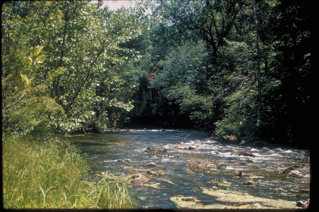
The park itself doesn’t rent boats. A handful of outfitters based in and around Eminence handle canoes, kayaks, and tubes for the Jacks Fork and the nearby Current. Most will shuttle you between put-in and take-out for the day. None of them are affiliated with the park, so call ahead for prices and current water conditions.
A few rules apply no matter who you rent from. One life jacket is required per person on board. Kids under seven have to wear theirs for the whole float, not just keep it in the boat. Glass and foam containers aren’t allowed on or around the river, and tying tubes together isn’t either. Dogs have to stay off leash while the boat’s on the water, since a leash and a flipped canoe make a bad combination. Pack like you would for any river trip; our camping gear checklist for beginners covers the overlap if you’re staying over.
Jacks Fork River vs Current River
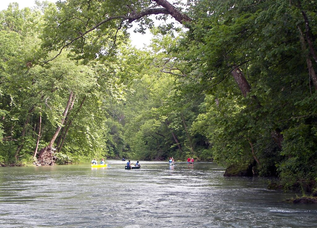
The Current River is the Jacks Fork’s bigger sibling, and the difference shows up fast. It carries more water, more outfitter traffic, and more put-in options. That makes it the easier river to plan a first trip around. The Jacks Fork is smaller, quieter, and in the summer, slower. Some stretches barely move without a paddle doing the work.
We’ve floated both. The choice comes down to what kind of day you want. Pick the Current for a full day with the widest range of sections and the least planning. Pick the Jacks Fork if you’d rather have the river closer to yourself and don’t mind paddling instead of drifting.
Is catching crayfish illegal?
Not in Missouri, generally. The state allows crayfish to be taken for personal use under a valid fishing permit. The exact methods and limits are worth checking on the Missouri Department of Conservation’s site before you go, since they do change. Inside the park boundary, the same rule applies as fishing for anything else: the park requires a valid fishing permit to take anything from park waters. A ranger at either visitor center can tell you exactly what that covers that week.
We’d rather send you to ask than guess. What we can tell you from our own time on Missouri rivers is that the water here is exactly the kind crayfish like: clear, cold, and full of life under every flat rock.
Eminence Missouri Hotels
Eminence is the obvious base. It sits right on the river, has the closest gas and groceries, and puts you within a few miles of Alley Spring in one direction and the Current River access points in the other. Cabins, motels, and private campgrounds cluster around town. Most of them work directly with the local outfitters if you want a package that includes the shuttle.
If you’re driving in from any distance, treat this like any other national park road trip and plan your gear the same way. Our road trip packing list for a national park trip is written for exactly this kind of drive-in, float-and-camp trip.
Where Is the Jacks Fork River?
Where is the Jacks Fork River? It’s in the southern Missouri Ozarks, inside Ozark National Scenic Riverways, running past Eminence before it meets the Current River near Two Rivers.
How long does a Jacks Fork River float take? It depends on the section. A short run near Alley Spring can be a half-day. Floating all the way down to Two Rivers is closer to a two-day trip with a night on a gravel bar or at a campground.
Can you tube the Jacks Fork River? Yes, and outfitters around Eminence rent tubes alongside canoes and kayaks. Just know the lower river moves slowly through long stretches, so a tube trip can turn into more paddling with your hands than floating.
Is the Jacks Fork River good for families? The lower section is. It’s Class I, spring-fed, and gentle enough for kids and beginners. That’s why it’s the busier of the two rivers with young families. The upper section, above Bay Creek, is not a beginner float.
Published September 27, 2026.
Photo credits: (1) featured, The red Alley Mill on the Jacks Fork River… — christopher friese, CC BY 2.0, via Wikimedia Commons; (2) A view along the Ozark National Scenic… — National Park Service, U.S. Government work, public domain, via Wikimedia Commons; (3) Clear spring water at the start of the… — Wesley the Methodist Cat, CC BY-SA 4.0, via Wikimedia Commons; (4) A scenic view within Ozark National Scenic… — National Park Service, U.S. Government work, public domain, via Wikimedia Commons; (5) The upper Current River in the Ozarks below… — Kbh3rd, CC BY-SA 3.0, via Wikimedia Commons.