

Some links on our site may earn us a commission at no extra cost to you. Learn more.
Blue Ridge Parkway closures are posted on one page, the road status and closures page on nps.gov/blri, and that page decides whether your section is open. Every update carries a time stamp at the top, and road, facility and trail closures each get their own list. Read it the night before, read it again before you leave, and treat any older status as history.
I would check the closures page the night before and again at breakfast, because the status can change through the day. We have driven the Parkway in more than one season, and the surprise is usually the stretch you assumed was fine.
Blue Ridge Parkway closures today
Start with the NPS closures page. It lists each closure by milepost range, gives the reason, and says whether a detour is signed. The page also warns that status is subject to change throughout the day after it has been updated, so a morning read is a snapshot, not a promise.
Each entry follows the same format: a milepost range, the nearest crossroads, the status, and a note on the reason, such as bridge work or storm repair. When a detour is signed, the entry says where it runs. If an entry gives no detour, plan on turning around.
The park information line is 828-348-3400, listed on the closures page. The park homepage also links the NPS app and its social accounts. For the connecting roads in North Carolina, DriveNC shows closures, incidents and a snow and ice layer, and Virginia runs its own 511 traffic site for the northern end.
Do not lean on a phone once you are on the road. The park FAQ warns that cell phones do not work in many locations and that GPS is sometimes unreliable. Save the closures page and download an offline map before you leave town.
Blue Ridge Parkway mileposts
Every mile has a concrete marker, and the numbers climb as you go south. The park’s getting-around page says the count begins at MP 0 near Shenandoah National Park and ends at MP 469 at Great Smoky Mountains National Park. The closures page puts the Virginia and North Carolina state line at MP 216.9, so a closure in the double digits is in Virginia and one in the 300s is in the North Carolina high country.
In plain words, Skyline Drive in Shenandoah is the north end, Asheville and Cherokee sit toward the south end, and Mount Mitchell and Craggy Gardens are in between. Our guide to the Parkway from Asheville to Cherokee covers the southern run. The pages for Mount Mitchell State Park and Craggy Gardens cover two high-country stops worth checking on their own before you drive up.
Two numbers are worth keeping in your head. The highest point on the Parkway is at MP 431.4, 6,053 feet up. The speed limit is 45 mph unless posted otherwise, so distances here take longer than the same miles on a highway.
Blue Ridge Parkway closures update
An article cannot tell you what is closed today, so this section tells you where to look instead. Each source below covers a different piece of the drive.
| Source | What it covers | When to check it |
|---|---|---|
| NPS road status and closures page | Closed road sections by milepost, plus separate facility and trail lists | The night before, and again before you leave |
| Park information line, 828-348-3400 | Park information by phone | When the page will not load or you have a question about one section |
| NPS road construction projects page | Planned work by milepost, from resurfacing to bridge repair | Weeks out, while you plan the route |
| DriveNC | North Carolina closures, incidents and a snow and ice layer | Before you use a connecting road in North Carolina |
| Virginia 511 | Virginia road conditions | Before you use a connecting road in Virginia |
| National Weather Service point forecast | Fog, wind and ice up on the ridge | The morning you drive |
Facilities run on their own list below the road tables. Restaurants, lodges, campgrounds, picnic areas and visitor centers can be closed while the road beside them is open, and trails have a separate list again.
Blue Ridge Parkway closures north carolina
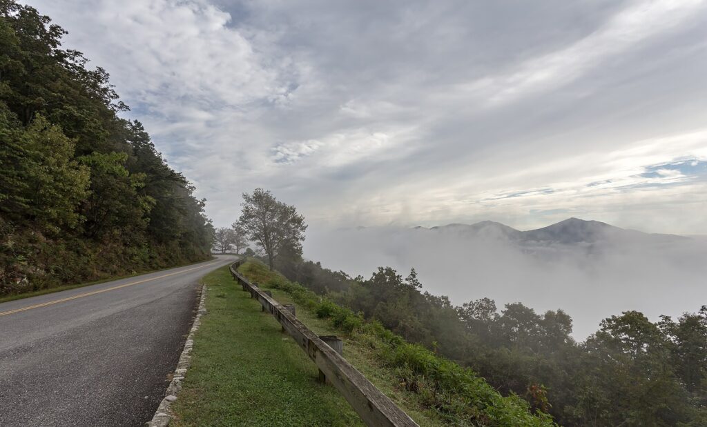
Hurricane Helene did most of the damage on this list. A March 2025 NPS release counted at least 57 landslides affecting the Parkway across nearly 200 miles in North Carolina, with the worst concentration between Linville Falls and Mount Mitchell. That is dated history, but it explains why the longest Helene-related closures have sat in that stretch of high country.
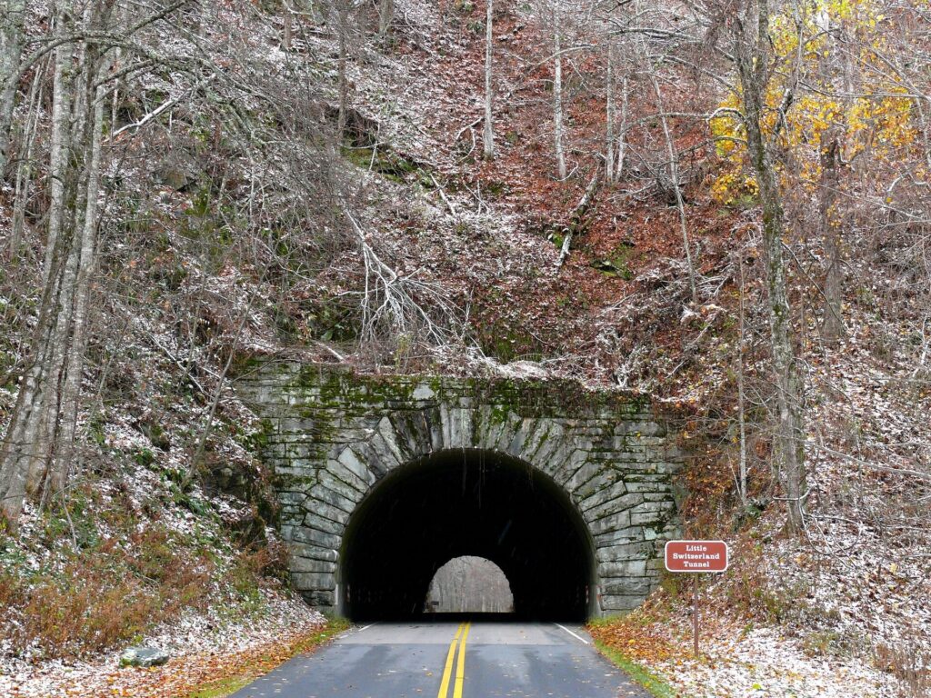
The park’s construction-projects page lists work by milepost. The version updated June 17, 2026 included MP 317.5 to MP 324.7 south of Linville Falls, MP 336.3 to MP 355 from Little Switzerland to Mount Mitchell, and MP 280 to MP 285 and MP 291.8 to MP 305.1 around Boone and Blowing Rock. It described the work as Helene recovery, resurfacing, and bridge repair and replacement.
The closures page also lists single-lane closures for construction and maintenance. A single lane means waiting your turn, so give that stretch extra time.
Open pavement does not mean the stop you planned is open. Visitor centers, campgrounds and picnic areas have stayed closed for Helene-related reasons while the road beside them was open, so check the facility list for your stop as well as the road.
Blue Ridge Parkway winter closures
Winter closures come from ice and snow, and elevation decides which sections go first. The park says sections of the 469-mile Parkway are often closed to motor vehicles in winter, yet there are frequently days when it may be open from end to end. Both are true in the same week.
The thaw is what catches people. NPS notes that thawing and refreezing on bridges or in shaded curves may keep some sections closed for extended periods, so a sunny afternoon in town says little about the ridge. If you meet a gate, the park asks you not to block it during winter closures.
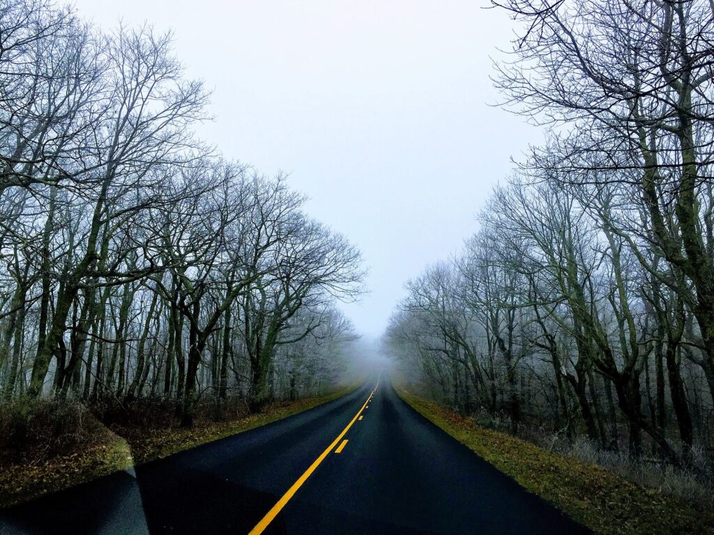
Elevation is the reason. The park says temperatures can differ by 10 to 20 degrees Fahrenheit between the foothill communities and the crest, and that at any time of year the road can sit in cloud with foggy driving. The National Weather Service forecast for a point near Busick, North Carolina, at 5,948 feet near Mount Mitchell, comes from its Greenville-Spartanburg office and is the closest thing to a ridge forecast.
Blue Ridge Parkway closures near Asheville
A closure-proof plan has three parts: a second route, a second stop, and a fuel and food plan. Write all three down before you start the car.
For the second route, find the exit before the stretch you want, not after it. Around Asheville that means knowing which connecting roads leave the Parkway on each side of a closure and checking them for snow and ice on DriveNC. The Parkway is a scenic road, not a shortcut, so a closed section usually means a long way around.

For the second stop, pick an overlook or short walk on a different section from the first. If the high stretch is closed or sitting in fog, a low-elevation waterfall or a town day is the better use of the morning. I would rather swap the plan at breakfast than drive an hour to a closed gate.
For fuel and food, the park FAQ points to the Blue Ridge Parkway Directory and Travel Planner for services in nearby communities. Plan to fill the tank in the towns just off the road before you climb, and carry water and food for the whole day. Park facilities close too, and the closures page lists them.
Before you start the car, answer these:
- What does the NPS closures page say this morning, and what time was it stamped?
- Which milepost ranges does my route cross?
- Where is the exit before each of them?
- What does DriveNC show for snow, ice and incidents on the connecting roads?
- Is the stop I planned open, or only the road to it?
- Do I have fuel, water, food and an offline map?
Blue Ridge Parkway fall colors
October is the busiest month on the road after summer, and color is why. NPS lists the traffic peaks as June, July, August and October, especially on weekends and holidays. A detour hurts most then, because it adds miles to a road already full of sightseers.
Color moves down the mountain. The park says scattered trees at higher elevations can start turning as early as late September, most of the change comes in October, and exact peak dates cannot be predicted because the road runs nearly 470 miles with more than 5,000 feet of elevation range. Later in the season, the lower elevations are the better bet for color.
I would pick a weekday if the schedule allows, start early, and keep a lower-elevation backup. The high stretches are where fog, color and closures all pile up in the same morning.
Is the Blue Ridge Parkway open today?
Is the Blue Ridge Parkway closed?
Sections close often, for storm repair, bridge work, maintenance and winter ice, while the rest of the road stays open. The NPS closures page lists every closed section by milepost. Check the closures page for today’s status before you drive.
Is the Blue Ridge Parkway open in winter?
Yes, in principle, but not every section on every day. The NPS FAQ says the road is open year-round, but sections may close from inclement weather or maintenance. Ice and snow are the usual reason, and the high elevations go first.
When will the Blue Ridge Parkway reopen?
There is no single reopening date. Each section on the NPS closures page carries its own status, and storm-damaged stretches reopen one at a time as repairs finish. Check the page or call 828-348-3400 about the section you need, the night before and again at breakfast.
Are there gas stations on the Blue Ridge Parkway?
The park FAQ points visitors to the Blue Ridge Parkway Directory and Travel Planner for services in nearby communities, so plan to fuel in the towns just off the road. Carry water and food as well. Park facilities close at times, so a planned meal stop is not a guarantee.
Published October 21, 2026.
Photo credits: (1) featured, Autumn color along the Blue Ridge Parkway — U.S. Department of Transportation, U.S. Government work, public domain, via Wikimedia Commons; (2) Clouds over the Blue Ridge Parkway near… — Acroterion, CC BY-SA 4.0, via Wikimedia Commons; (3) Blue Ridge Parkway roadway in winter… — Laura A. Macaluso, Ph.D., CC BY-SA 4.0, via Wikimedia Commons; (4) Fog hanging over a curve of the Blue Ridge… — Maria newengland, CC BY-SA 4.0, via Wikimedia Commons.